MundoGEO
English
  • Drones and Robotics
  • Space
  • eVTOL
  • Geospatial Technologies
  • Newsletter
  • WhatsApp
  • Exhibitions
    • DroneShow Robotics
    • MundoGEO Connect
    • SpaceBR Show
    • Expo eVTOL
    • Smart City Business
    • Exhibitors
  • Lives
  • Videos
  • Webinars
  • About Us
  • Social Networks

vexcel

Geospatial Technologies
Vexcel Imaging introduces the all-new UltraCam Merlin 5.0: Premium Photogrammetric Nadir Mapping at Unprecedented Scale
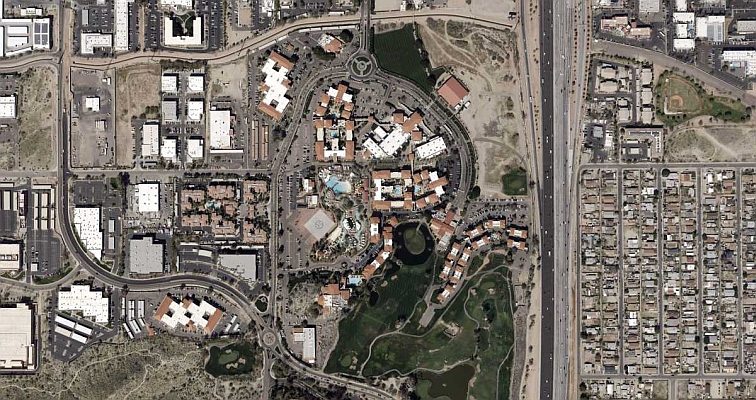
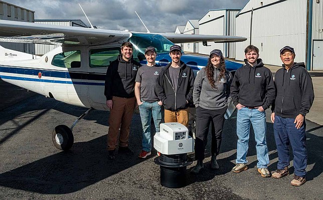
Geospatial Technologies
GeoTerra Selects Vexcel’s UltraCam Merlin 4.1 to Elevate Aerial Mapping Operations in the Pacific Northwest
Geospatial Technologies
Vexcel Imaging Announces Newest UltraCam: Osprey 4.2
News - Remote Sensing
Elevate your performance with UltraMap 5.0
Editorials
  • Drones and Robotics
  • eVTOL
  • Geospatial Technologies
  • Space
Live Schedule
16 April 2026 - 16h00 Impactos para o Brasil do retorno à Lua
14 April 2026 - 16h00 Sem informação geográfica não há cidade inteligente
31 March 2026 - 16h00 Operar drones de forma irresponsável pode gerar multas e dever de reparação
See all lives
Video
2025 Feira/Exhibition MundoGEO Connect | DroneShow Robotics | SpaceBR Show | Expo eVTOL
See all videos
Sign up for our newsletter
Invalid Email
Calm down, we will not share with any third parties.
MundoGEO
  • About Us
  • Archive (blog and articles)
© Copyright