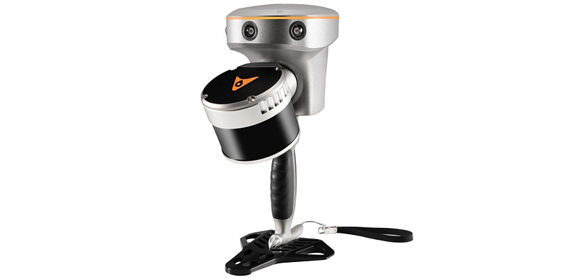
Leica Geosystems has introduced the Leica SmartPole, which determines coordinates and orientation On-the-Fly whilst conducting the survey, using both GPS and TPS.
It is no longer necessary to identify control points in the office and search for control in the field, to first measure orientation points and only then detail points.
Traversing is not required, each TPS set up can be conducted independently with new coordinates and orientation being determined with SmartPole GPS. Once the TPS orientation and coordinates are known, all measured points are automatically updated.
Leica SmartPole is fully compatible with System 1200 which combines the most productive high-end total station with the fastest and most reliable RTK tool in the market.
The same SmartAntenna can be used together with a TPS1200 as a SmartStation, together with a RX1250 controller as a SmartRover or together with a 360° reflector and RX1250 controller as a SmartPole.
By truly complementing each other, SmartStation and SmartPole make System 1200 the most complete surveying system that offers high flexibility and grows with demands. Common hardware components reduce costs and increase the flexibility of equipment deployment.
For more information visit www.leica-geosystems.com


