MundoGEO, along with the support of companies and institutions, held on October 25th a seminar on Unmanned Aerial Vehicles (UAVs) for the mapping sector. The event was held on Bourbon Convention Ibirapuera, in São Paulo (SP), and gathered 412 participants, both on-site and online.
UAV technology is gaining more and more users, and can be used for various applications, from defense and intelligence to the production of maps, in the areas of environment, forestry, agriculture, infrastructure, land management, among others. The models currently available and under development have different features and sensors, and its best use for each application is still unknown.

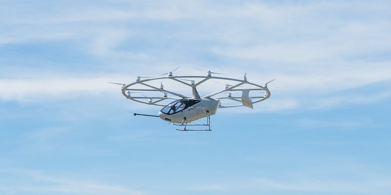
To meet this market demand, particularly on the regulation of the sector, MundoGEO invited experts who addressed the issue clearly and directly, demonstrating to the public physically present (120 people) and online (292 people), major trends and models and uses for this type of technology that should have a very expressive growth in the next few years. . The event also featured an exhibition of models available in the market nowadays.

Opening the seminar, Onofre Trindade Junior, Researcher at the University of São Paulo (USP), showed what types of UAVs are currently being developed, how this new technology can be applied to each type of use, demonstrating the main sensors that can be shipped today. The public learned about aircraft, aeronautical hardware and software and monitoring and control stations development, in addition to learning about the structure of aircrafts, new concepts in the industry and major projects under development today.

In addition to presentations on large, medium and small UAVs, the public attended a presentation made by professionals from the National Civil Aviation Agency (ANAC) of Brazil, demonstrating the situation of the Brazilian regulations for Unmanned Aerial Vehicles .
To Emerson Granemann, Director and Publisher of MundoGEO, “the highlights of the event were the clarification of the classification of devices, the importance of training pilots and how data collected by UAVs can be used, which goes far beyond mapping,” he said.
Concluding the seminar, which lasted all day, MundoGEO invited some experts to conduct a debate on the technical challenges and legal opportunities in this market, in addition to holding a raffle of books and MundoGEO magazines subscriptions. To see images from the exhibition of UAVs, visit MundoGEO on Facebook and also on Flickr.


