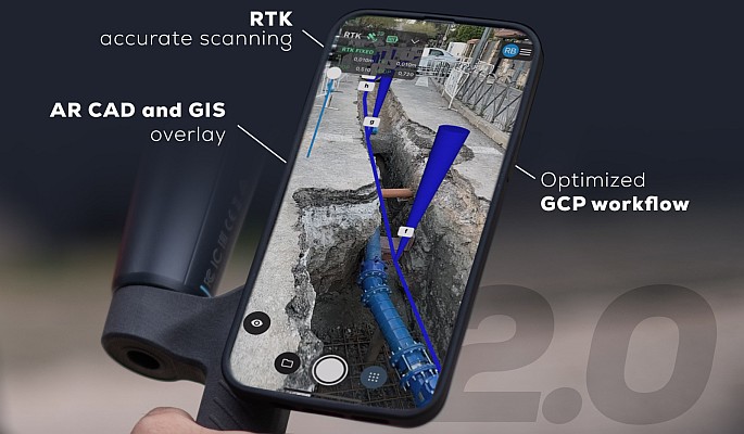
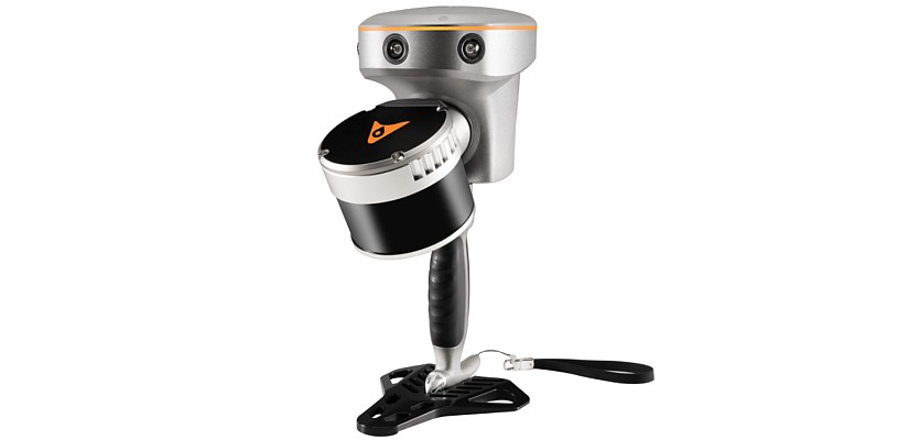
RIEGL has introduced an app for Lidar data visualisation, RiALITY. The app allows users to experience Lidar data in a completely new environment and also allows easier Lidar data demonstrations through the use of an iPad. RiALITY features true colour point clouds and 3D navigation as well as an Augmented Reality mode. The Augmented Reality mode allows point clouds to be virtually projected into the real world.
 TheRiALITY App enables users to visualise and navigate through point clouds acquired with RIEGL laser scanners. As an example, users are able to explore a dataset of the Rosenburg Castle in Austria. RIEGL scans can also be imported from RIEGL’s RiSCAN PRO software into the App, as well.
Ananda Fowler, RIEGL’s manager of terrestrial laser scanning software said his company is pleased to present a new way of visualising point clouds. The iPad point cloud viewer delivers this new technology by providing Augmented Reality technology in an easy-to-use app. Now it is possible to send a client a 3D point cloud that they can visualize on their iPad, Fowler added.
Free entry for the largest geospatial trade fair in Latin America
MundoGEO#Connect LatinAmerica 2014 (https://mundogeoconnect.com/2014/en), Conference and Trade Fair of Geomatics and Geospatial Solutions, will be held from May 6 thru 9 May at Frei Caneca Convention Center in Sao Paulo, Brazil, offering 30 courses, seminars, special events and professional meetings. Al inscribirse en dos actividades, el participante podrá seleccionar un curso, seminario o evento especial para asistir sin costo algun. By subscribing in two activities, the third one will be free. Check out the conference program (https://mundogeoconnect.com/2014/en/program/).
MundoGEO#Connect trade fair will have free access through previous registration (https://mundogeoconnect.com/2014/en/accreditation-to-the-fair/). For further information, contact MundoGEO by e-mail connect@mundogeo.com or call +55 (41) 3338-7789 / (11) 4063-8848.


