Geospatial Technologies
Fugro and Petrobras pioneer remote subsea inspection survey in Brazil
News – Geoprocessing and GIS
Geospatial Technologies
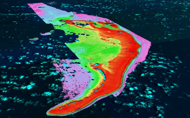
TCarta Expands Role in Seabed 2030 Ocean Survey Project
Geospatial Technologies
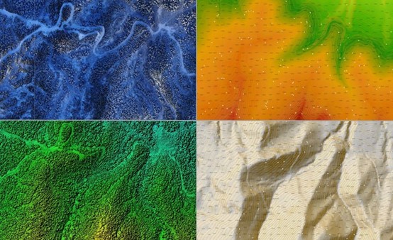
Using the AlphaAir 450 to create a Digital Elevation Model (DEM) for a coal mine project
Geospatial Technologies
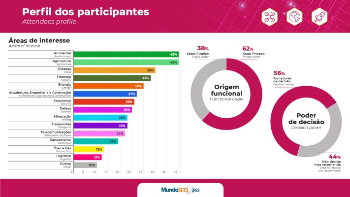
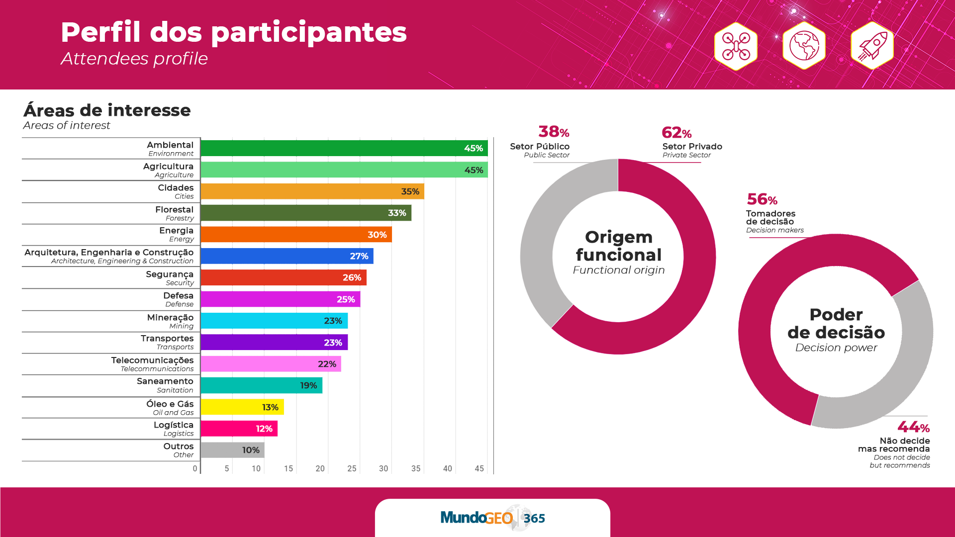
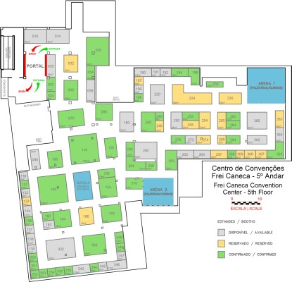
MundoGEO Connect 2023 trade fair grows 40% and expects more than 5 thousand visitors
Geospatial Technologies
OGC Announces new Geo for Metaverse Domain Working Group
Geospatial Technologies
Maptek Geology Champions Win on Innovation
Geospatial Technologies
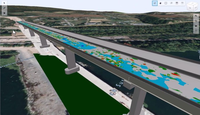
Bentley Systems Launches iTwin Experience, iTwin Capture, and iTwin IoT to Extend iTwin Platform
Geospatial Technologies
Nearabl adopts the Bentley iTwin platform to expand infrastructure deployments
Geospatial Technologies
10 Drone and Geo Seminars with 90 experts
Drones and Robotics
11 Drone and Geo courses with open registration
Geospatial Technologies
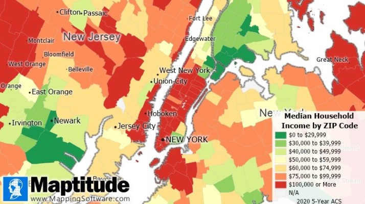
Maptitude 2022 GIS Data Released for the Americas, Europe, & Oceania
Drones and Robotics
DroneShow, MundoGEO Connect and SpaceBR Show 2023 trade fair grows 50%
Geospatial Technologies
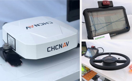
CHC Navigation 2.5 cm accurate RTK auto-steer at an affordable price is available
Geospatial Technologies
UP42 Teams Up with Trimble for Faster Information Extraction from Geospatial Data
Geospatial Technologies
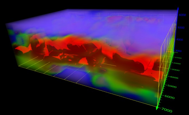
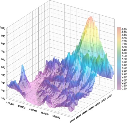
Golden Software Enhances Grapher Package with Improved Axes, Plotting, and 3D Functionality
Geospatial Technologies
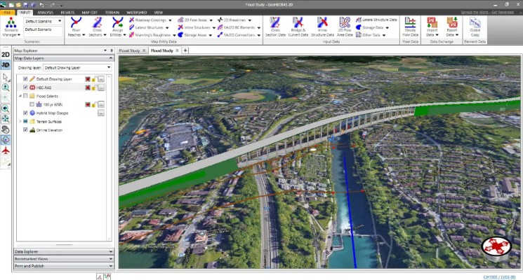
CivilGEO Releases GeoHECRAS Version 4.0
Editorials
Live Schedule


