Drones and Robotics
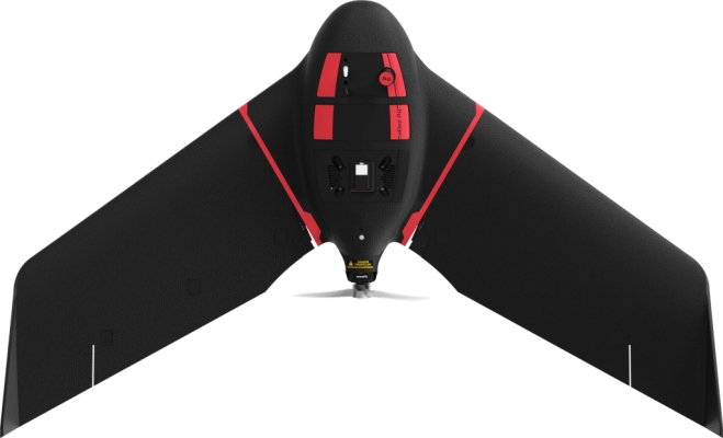
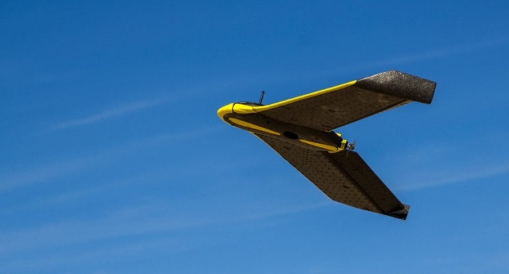
senseFly Launches eBee Ag Fixed-wing Mapping Drone for Agriculture
Drones and Robotics
Drones and Robotics
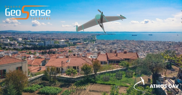
Atmos UAV further expands its distributor network in Europe with GeoSense
Drones and Robotics
Iris Automation joins World Economic Forum’s Global Innovators Community
Drones and Robotics
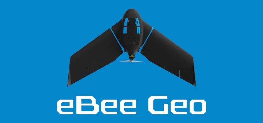
New eBee Geo joins senseFly line of professional fixed-wing mapping drones
Drones and Robotics
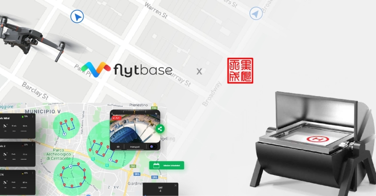
Introducing Automated Aerial Security Solution For DJI Mavic 2 Enterprise
Drones and Robotics
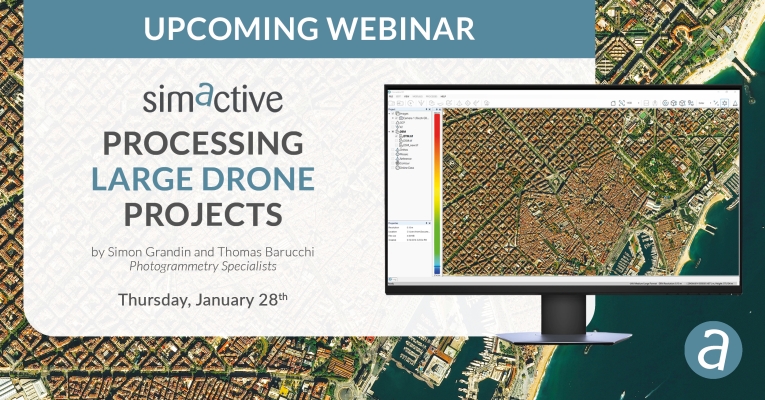
Webinar: Processing Large Drone Projects
Drones and Robotics
Mobius Logic brings drone flight management to Microsoft Azure
Drones and Robotics
Parrot Partners with WISeKey to Define the Future of Drone Security
Drones and Robotics
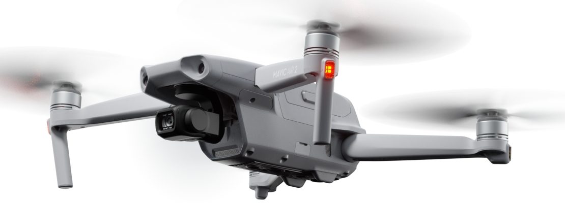
DJI launches the new drone Mavic Air 2
Editorials
Live Schedule


