Drones and Robotics Pix4D announces a new generation of tools for Photogrammetry, Drone Mapping and Analytics
News - Geoprocessing and GIS PAR Government Systems Introduces Commercial Version of GV3.0 Geospatial Viewing Application
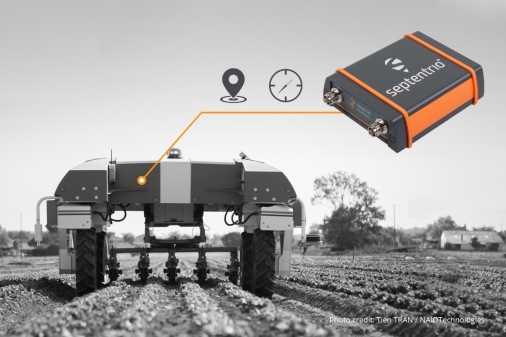
News - GNSS and Positioning International Lidar Mapping Forum Announces New Keynotes: Jack Dangermond and Geospatial Executives Panel
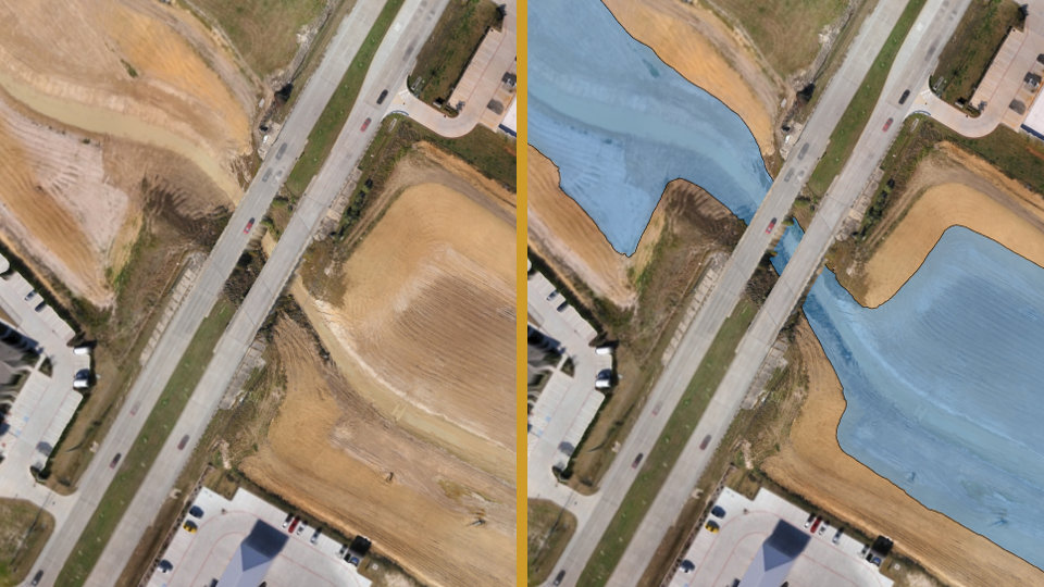
News - GNSS and Positioning Virtual Surveyor Streamlines Volumetric Calculations for Stormwater Retention Ponds, Basins & Quarries