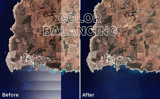
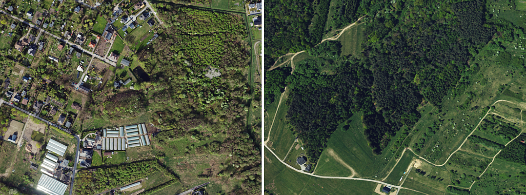
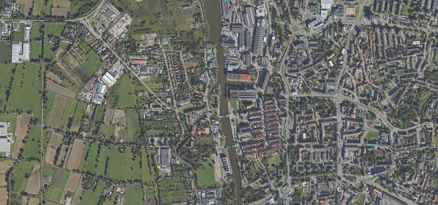
Geointelligence Next-level color balancing in UltraMap: how to achieve more homogeneous aerial imagery
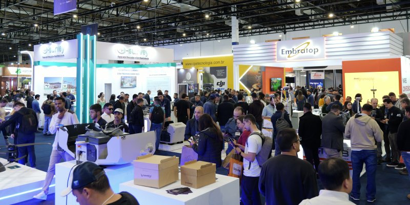
News MundoGEO exhibitions bring together sectors set to generate over US$ 9.8 billion in 2026 in Brazil
Drones More than 12,000 professionals attended the MundoGEO Connect, DroneShow Robotics, SpaceBR Show, and Expo eVTOL 2026 exhibitions
Geointelligence Dephos Group is launching the Portuguese version of the Limon software worldwide during MundoGEO 2026
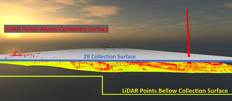
Geointelligence Aerial image quality control at machine speed: how synthetic defects solved the rare-error problem
Geointelligence Geospatial Data: The Foundation for Becoming a Partner for the Agricultural Insurance Market
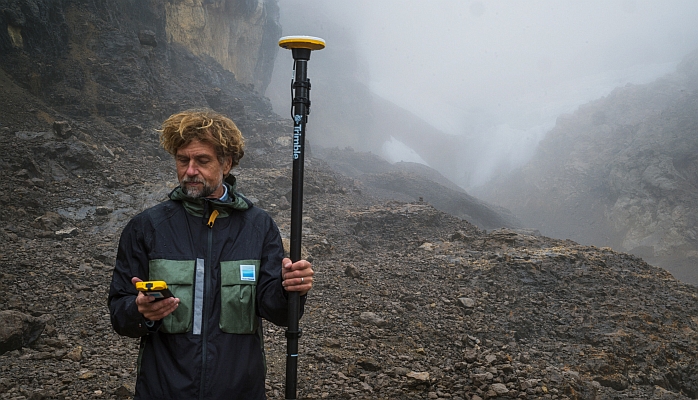
Geointelligence Trimble Technology Enables First Centimeter-Accurate 3D Model of Disappearing Puncak Jaya Glaciers
Geointelligence Tech Talk on UltraMap & UltraCam Merlin: A perfect combination for efficient data production
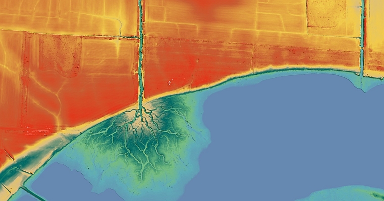
Geointelligence US Army Corps of Engineers awards Fugro five‑year contract for critical infrastructure mapping