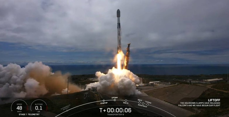
Geospatial Technologies ICEYE Receives Task Order Under NASA Commercial SmallSat Data Acquisition Program
Geospatial Technologies Fugro supports Curaçao’s ambition to become a regional leader in the production and export of green energy
News MundoGEO is now part of the Italian Exhibition Group and advances in the international expansion of MundoGEO Connect, DroneShow and SpaceBR Show events
News DroneShow, MundoGEO Connect and SpaceBR Show consolidate as one of the main exhibitions in the world
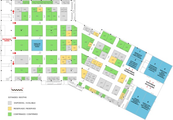
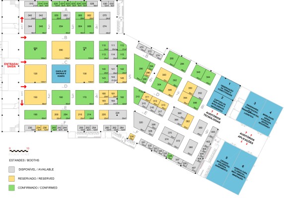
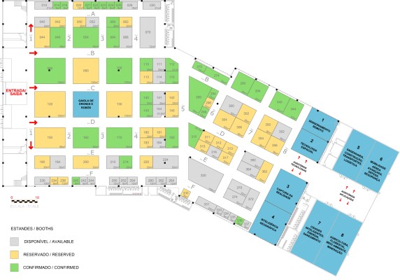
May 21 to 23, 2024 in Sao Paulo, Brazil 65% occupied the DroneShow, MundoGEO Connect and SpaceBR Show 2024 stands
MAY 21 TO 23 IN SAO PAULO, BRAZIL Reserve your place in 2024 for the DroneShow, MundoGEO Connect and SpaceBR Show
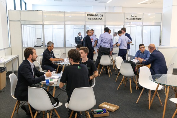
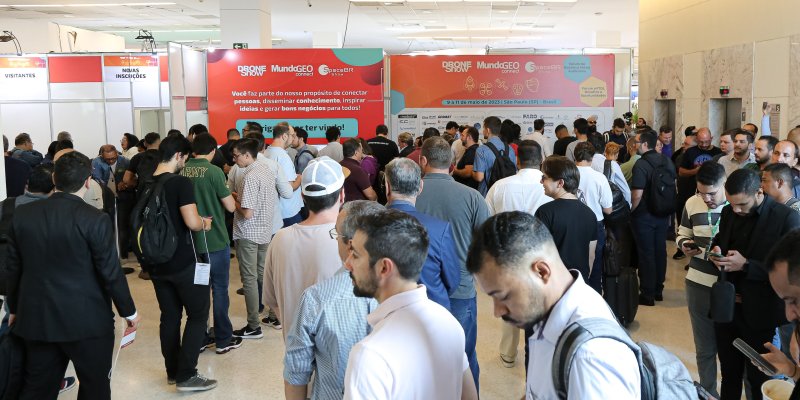
May 9 to 11, 2023 in Sao Paulo, Brazil 5,700 participants attended the DroneShow, MundoGEO Connect, and SpaceBR Show 2023 in São Paulo
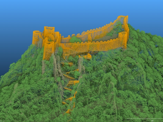
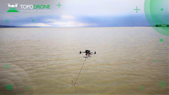
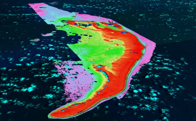
Geospatial Technologies Topodrone–Rasa Surveying partnership augments coastal mapping, serves resilient communities
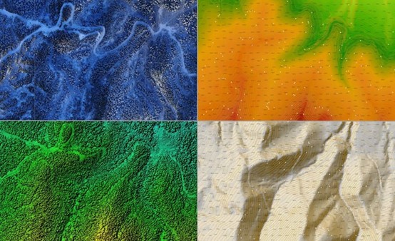
Geospatial Technologies Using the AlphaAir 450 to create a Digital Elevation Model (DEM) for a coal mine project