Geospatial Technologies Hexagon announces Leica ContentMapper — new airborne imaging sensor for efficient large-scale content collection
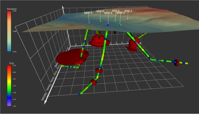
Geospatial Technologies Golden Software Unveils 3D Drillhole Visualization in Surfer Surface Mapping Package
Geospatial Technologies Fugro wins new contract with U.S. Geological Survey to support national mapping initiatives
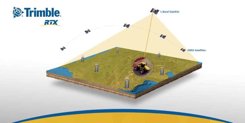
Geospatial Technologies SXBlue II GPS: innovative technology that delivers sub-meter accuracy in real-time
Geospatial Technologies EarthScanner-2, extra wide swath satellite and three DailyVision satellites launched succesfully
Geospatial Technologies Lift your mobile application to the next level and join this year’s ESA Space App Camp – benefit from an 8-week-long mentoring programme
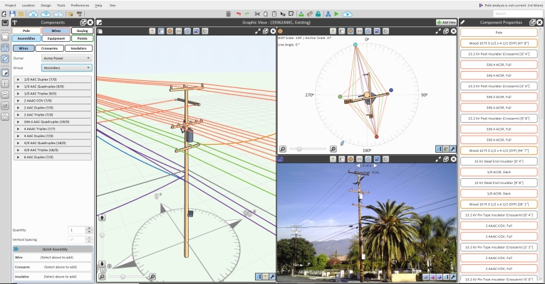
Geospatial Technologies Bentley Systems Announces Acquisition of SPIDA, Leader in Utility Pole Structure Management
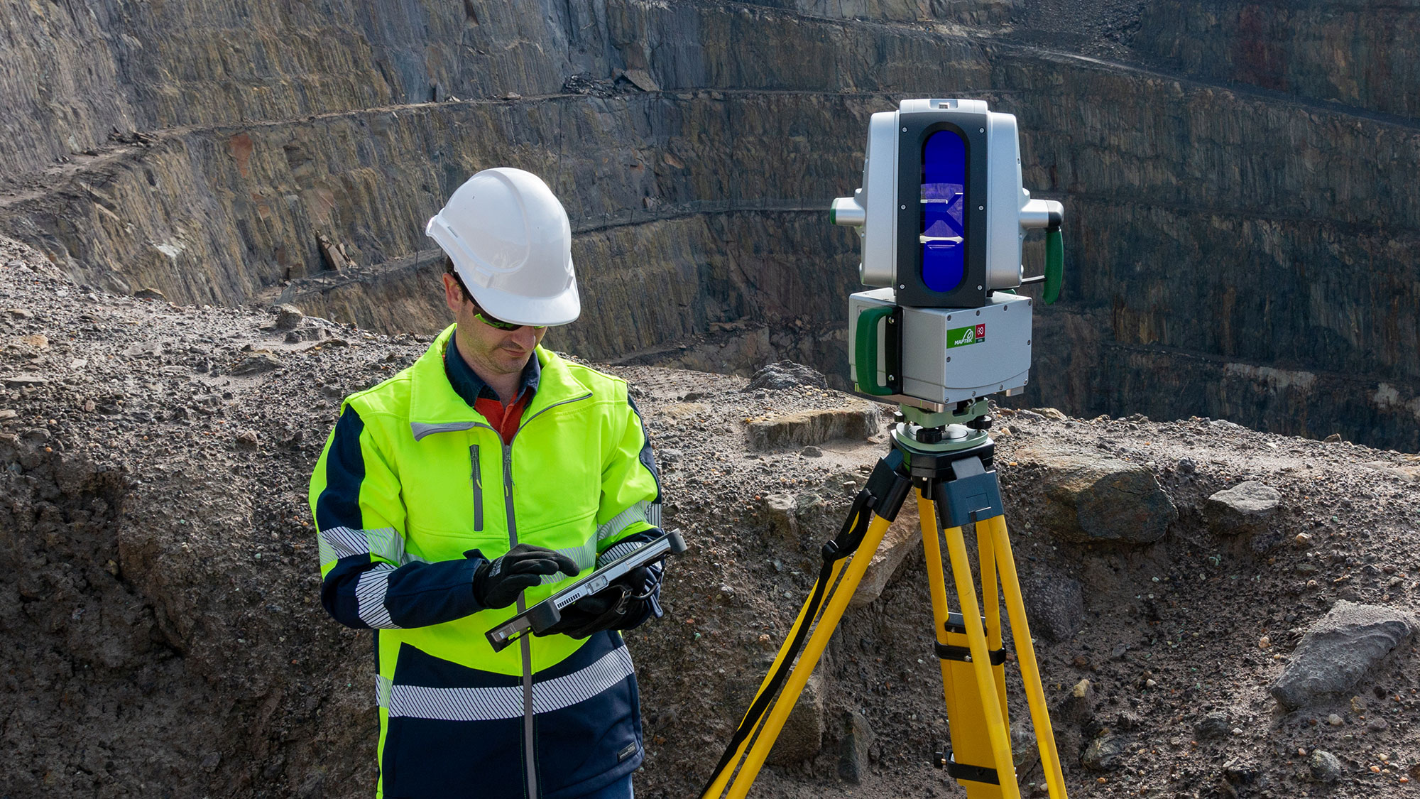
Geospatial Technologies Trimble Expands its Geospatial Automated Monitoring Portfolio with Worldsensing Geotechnical IoT Solutions
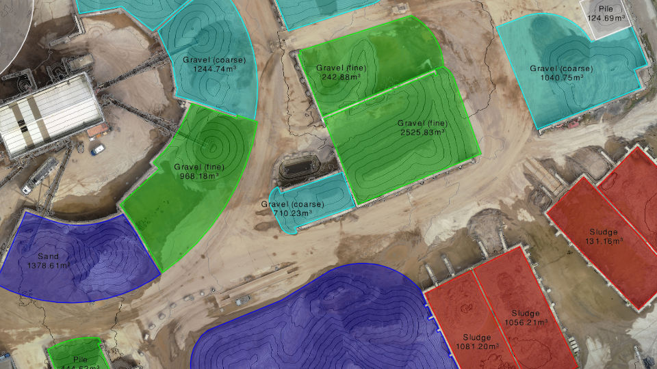
Geospatial Technologies Virtual Surveyor Introduces Enhanced Stockpile Reporting in Drone Surveying Software
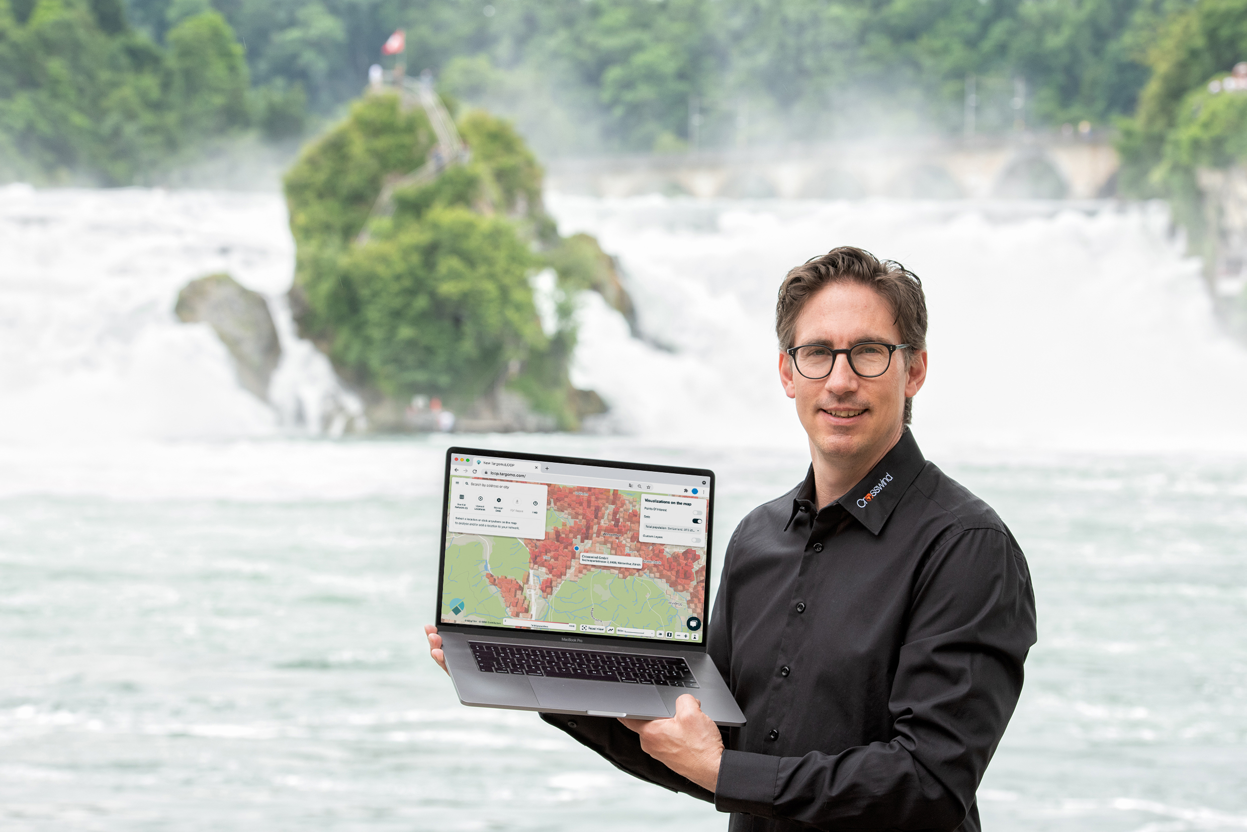
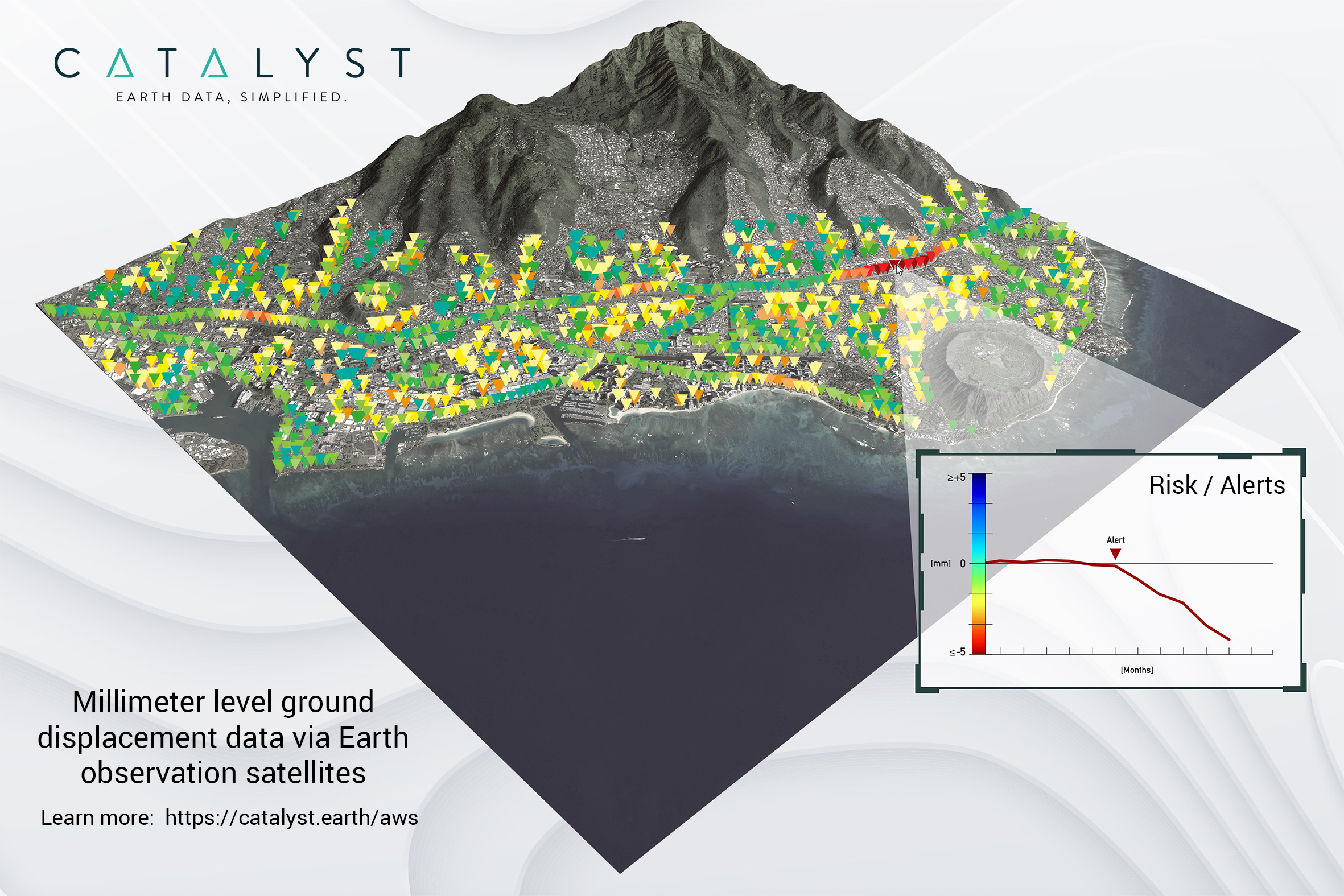
Geospatial Technologies CATALYST Collaborates with Amazon Web Services to Deliver Geospatial Insights to Decision Makers