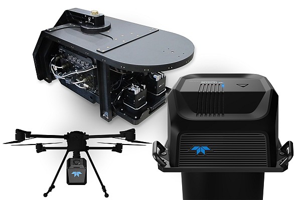
Geospatial Technologies Teledyne Geospatial overcomes cost and complexity in aerial topo-bathy survey with the new Fathom coastal mapping solution
Geospatial Technologies With Outsight And Hesai, Embotech Deploys New Automated Vehicle Marshalling Capabilities In Bmw’s European Plants
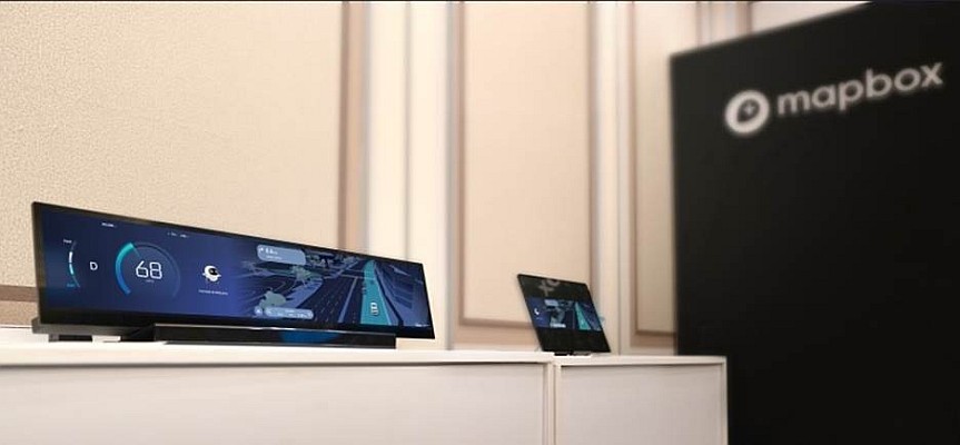
Geospatial Technologies Mapbox and Hyundai AutoEver Show AI-Driven 3D Navigation and Voice Experience
Geospatial Technologies Hexagon acquires CAD Service to strengthen EAM solutions with enhanced visualisation capabilities
Geospatial Technologies Teledyne Geospatial and Pointerra3D announce partnership to revolutionize grid management
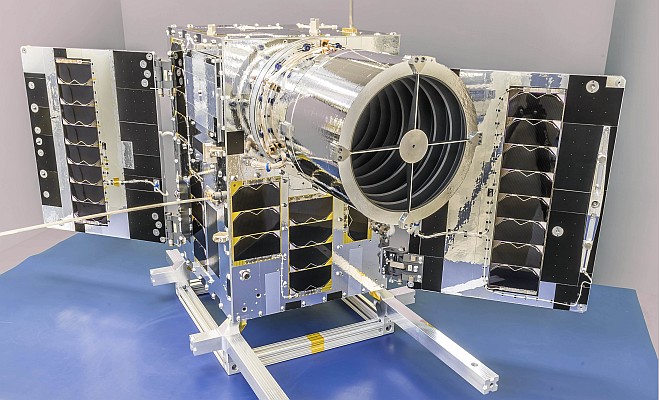
Geospatial Technologies Space Flight Laboratory Announces Launch and Deployment of NorSat-4 Maritime Monitoring Microsatellite
Geospatial Technologies Mapbox and Cerence AI Collaborate to Accelerate the Future of Voice-Driven Navigation
Geospatial Technologies Sodex Innovations Celebrates a Successful North American Debut with Major Competition Wins