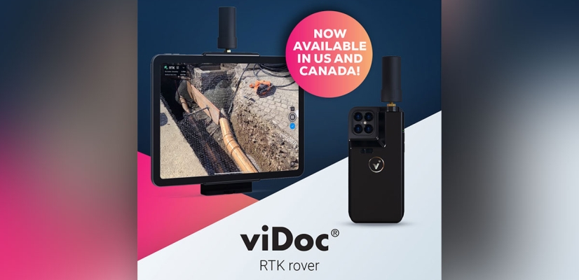
Geospatial Technologies Pix4D launches viDoc RTK rover, an iPhone case that enables handheld professional 3D scanning
Geospatial Technologies UP42 Unveils Very High-Resolution Imagery from Airbus Pléiades Neo Satellites
Geospatial Technologies Nippon Foundation-GEBCO Seabed 2030 Project Announces Partnership with TCarta
Space SpaceBR Show brings together representatives of the space sector in a free-of-charge online event
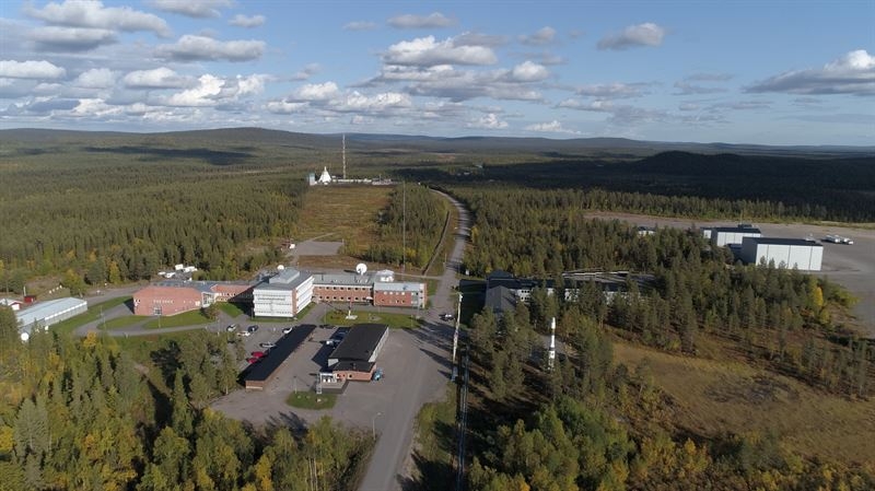
Space Swedish Space Corporation invests to finalize satellite launch capability at Esrange Space Center
Drones and Robotics Count down to the Pix4D 24-hour virtual User Conference on Oct 6 with expert speakers and product updates
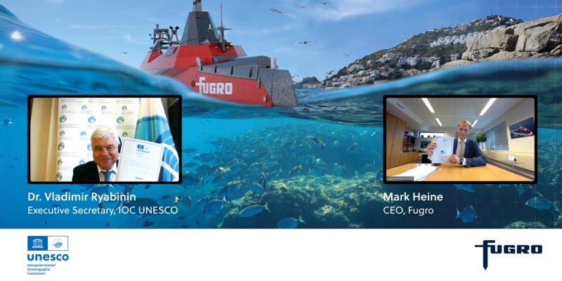
Geospatial Technologies Fugro commits Geo-data expertise and experience to UN Ocean Decade under new partnership agreement
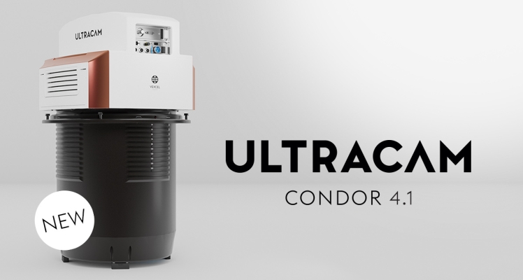
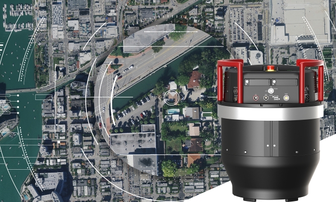
Geospatial Technologies Hexagon announces Leica ContentMapper — new airborne imaging sensor for efficient large-scale content collection
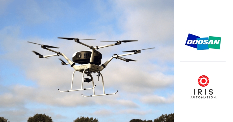
Drones and Robotics Iris Automation Partners with Doosan Mobility Innovation for Safer, Fuel Cell-Powered Drones