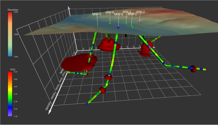
Geospatial Technologies Golden Software Unveils 3D Drillhole Visualization in Surfer Surface Mapping Package
Geospatial Technologies Fugro wins new contract with U.S. Geological Survey to support national mapping initiatives
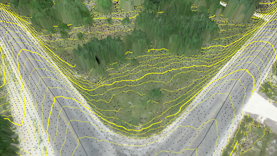
Drones and Robotics Virtual Surveyor Improves Point Cloud Workflow to Fully Leverage Drone LiDAR Payloads
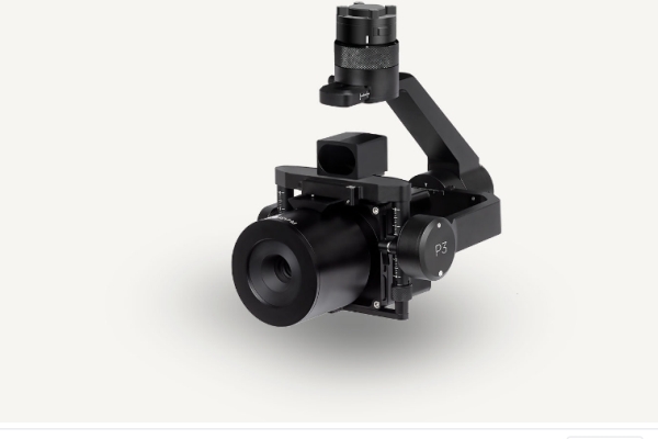
Drones and Robotics Future of Enterprise Drone Inspection Arrives with Auterion and Phase One Plug-and-Play Integration
Drones and Robotics UAV Navigation integrates Iris Automation’s proven Detect and Avoid System Casia with its VECTOR autopilots
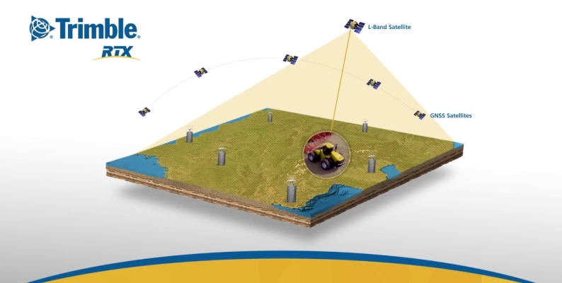
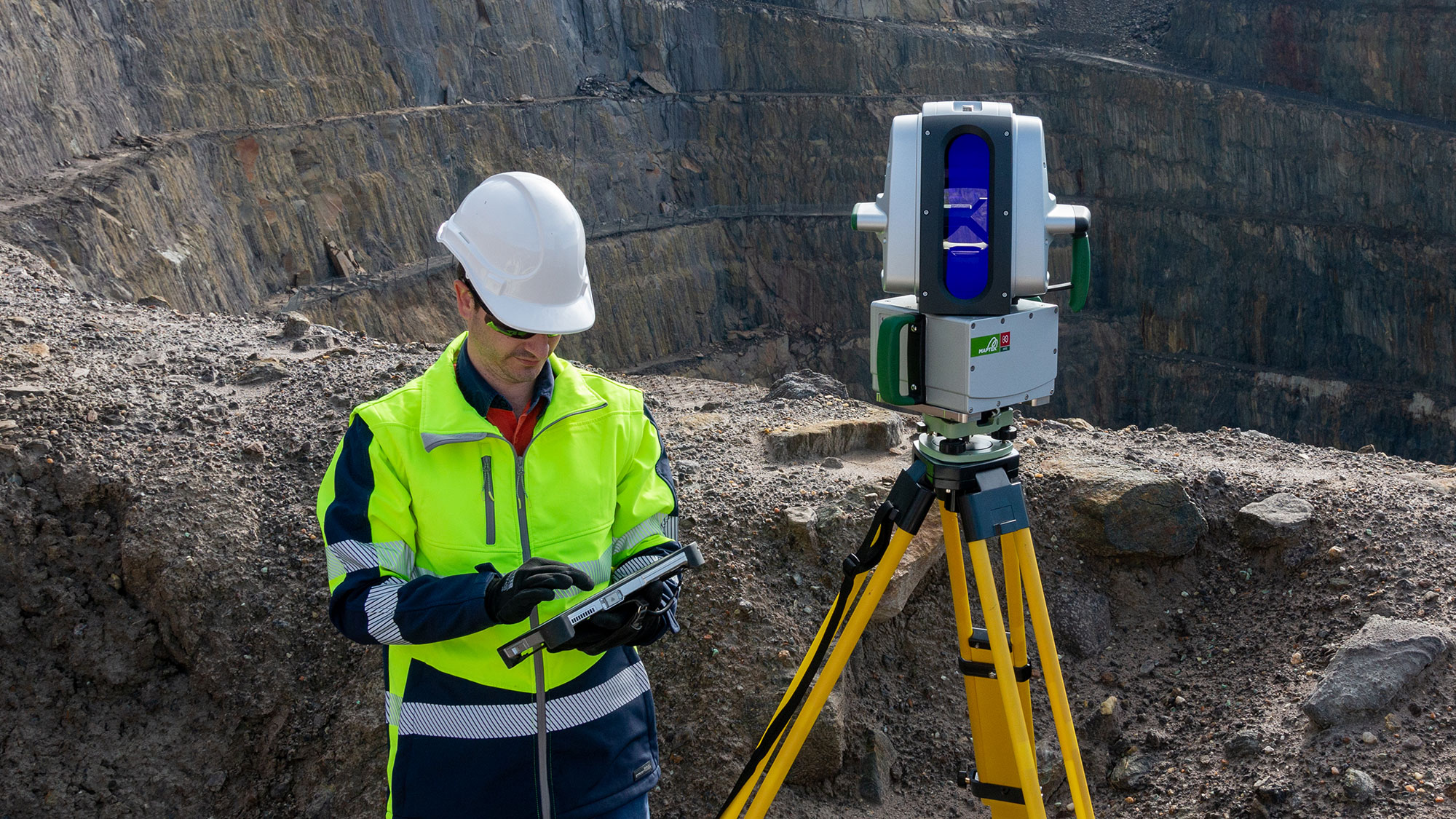
Geospatial Technologies SXBlue II GPS: innovative technology that delivers sub-meter accuracy in real-time
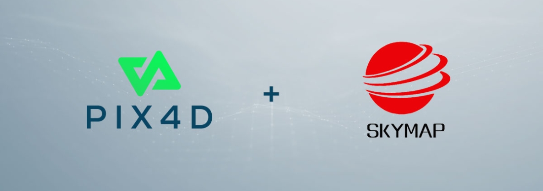
Drones and Robotics Pix4D announces entering into an exclusive reseller partnership with Beijing Skymap Technology
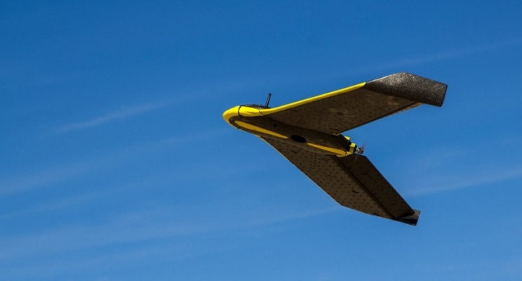
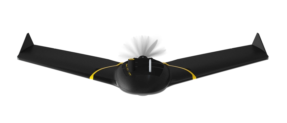
Drones and Robotics Brazil’s Civil Aviation Authority Approves senseFly’s Flagship eBee X Fixed-wing Drone for Beyond Visual Line of Sight Operations
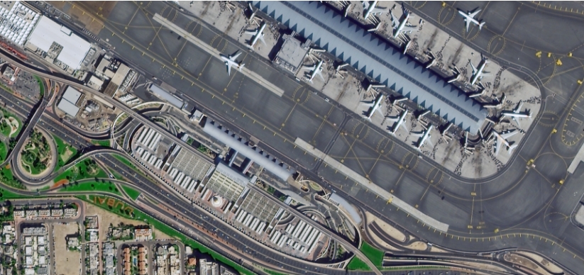
Geospatial Technologies EarthScanner-2, extra wide swath satellite and three DailyVision satellites launched succesfully
Geospatial Technologies Lift your mobile application to the next level and join this year’s ESA Space App Camp – benefit from an 8-week-long mentoring programme
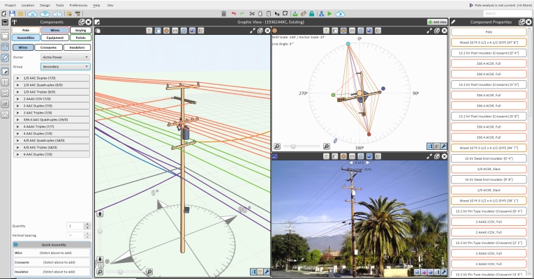
Geospatial Technologies Bentley Systems Announces Acquisition of SPIDA, Leader in Utility Pole Structure Management