News - GNSS and Positioning Teledyne Optech partners with Aerial Surveys International to provide hyper-realistic mapping solution
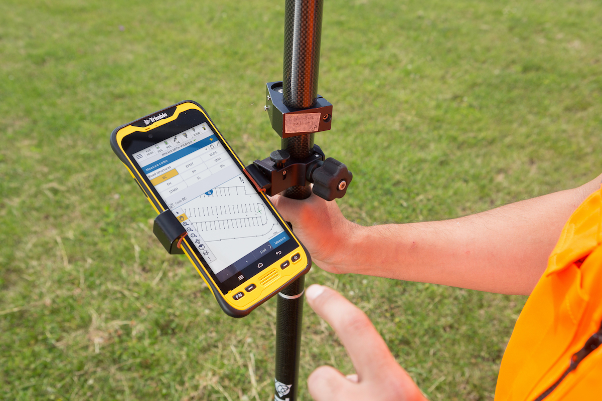
News - GNSS and Positioning New Version of Trimble Access Enables Broader Accessibility to Android OS for Surveyors
News - Geoprocessing and GIS Launch of NavVis VLX readies mobile mapping for mainstream use in surveying by delivering unprecedented data quality
Drones and Robotics US Federal Aviation Administration (FAA) upgrades to highest level of OGC Membership
News - Geoprocessing and GIS Esri Publishes Second Volume of Women and GIS, with Foreword by Jane Goodall
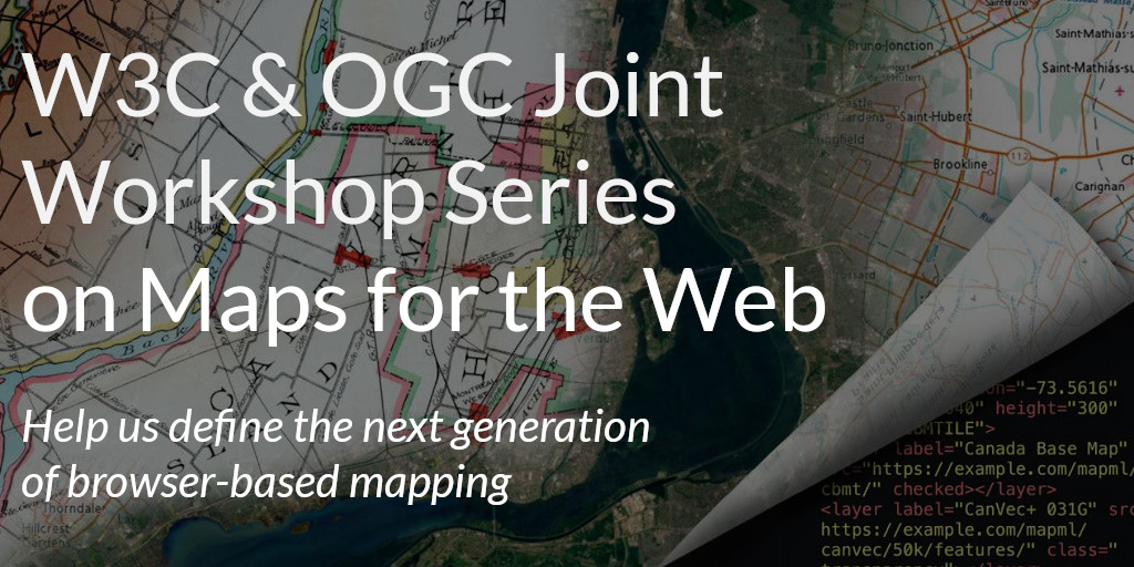
News - Geoprocessing and GIS OGC and W3C invite web developers to a joint workshop series on Maps for the Web
News - Cities PAR Government Launches TeamConnect by PAR Situational Awareness Solution for Government and Civilian Organizations