News - Geoprocessing and GIS New version of 3D streaming community standard, I3S, adopted and published by OGC
News - GNSS and Positioning Hexagon Strengthens HxGN Content Program With Acquisition of COWI’s Mapping Business
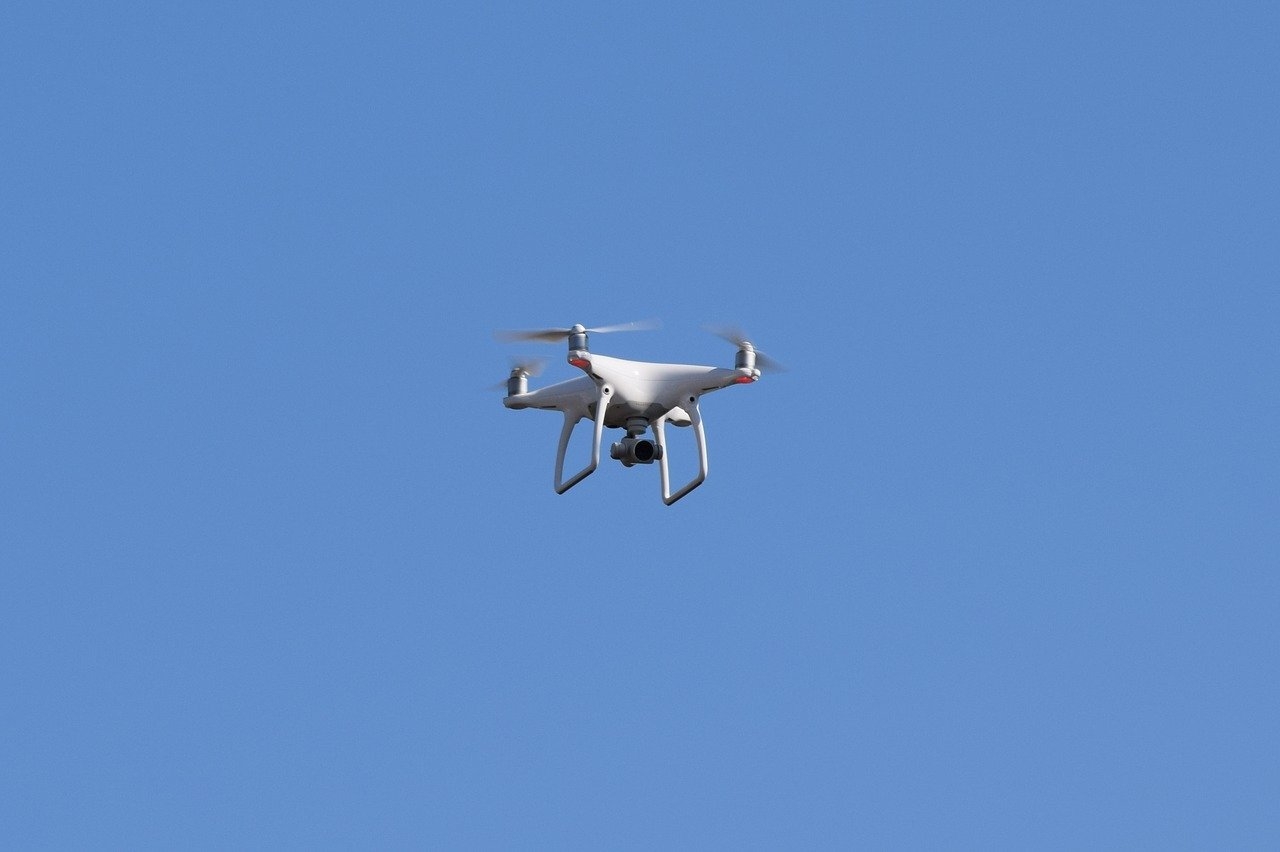
Drones Skyfront partners with Silvus Technologies to provide long-range Drones for BVLOS applications
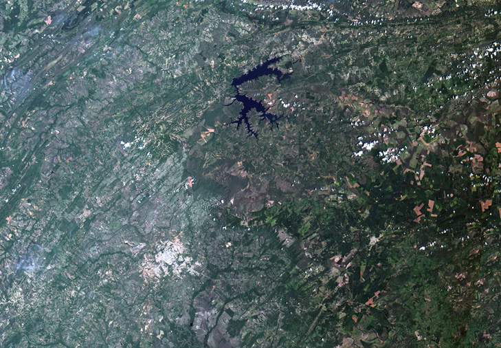
News - Remote Sensing JAXA enter agreement with FAO on Data Utilization of Earth Observation Satellites