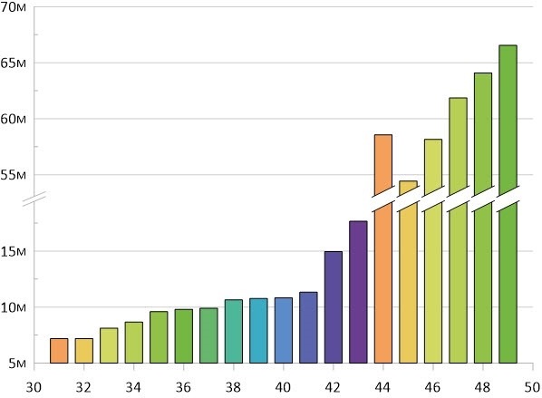
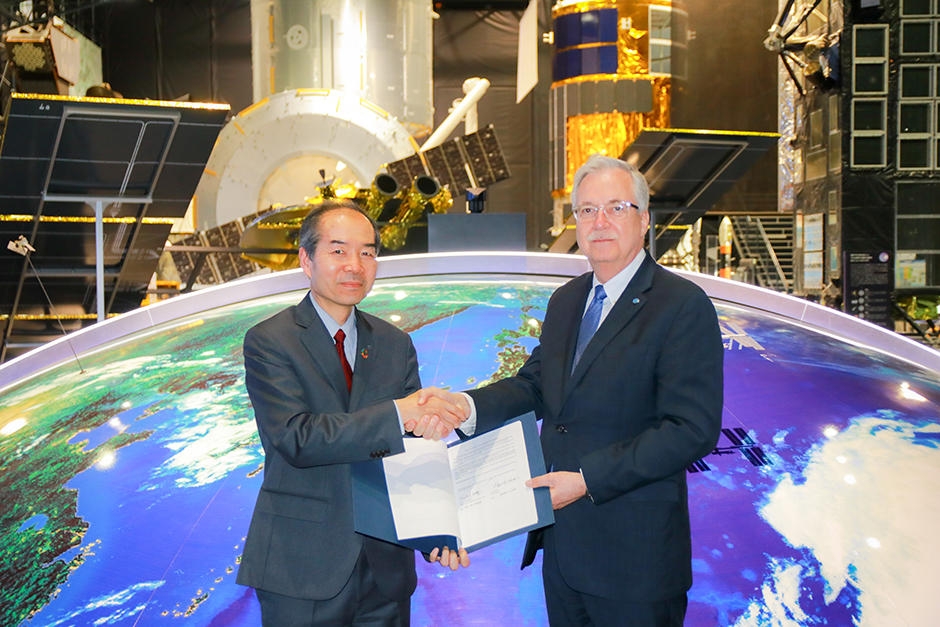
News - Remote Sensing JAXA enter agreement with FAO on Data Utilization of Earth Observation Satellites
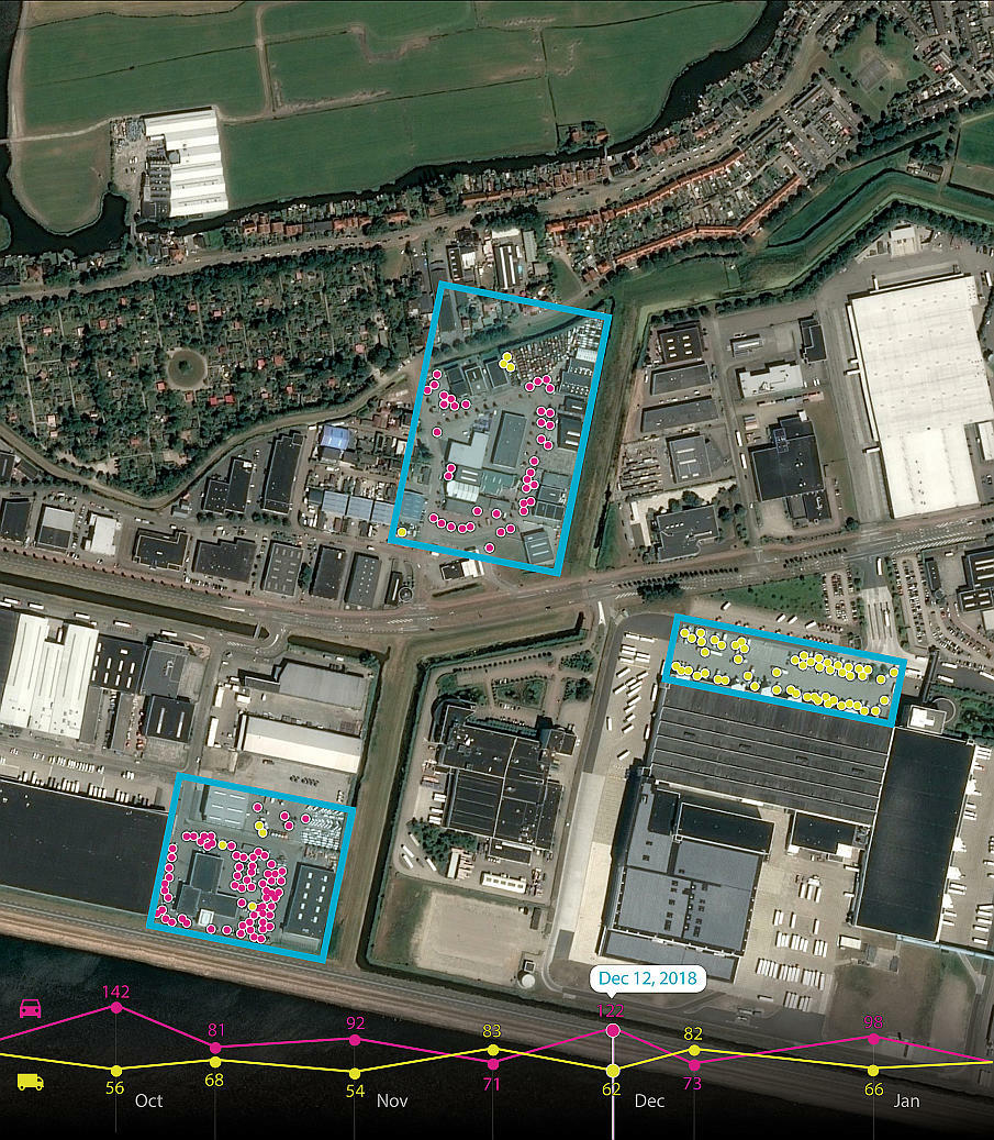
News - Remote Sensing Airbus and Orbital Insight launch Earth Monitor to provide geopolitical and economic insights
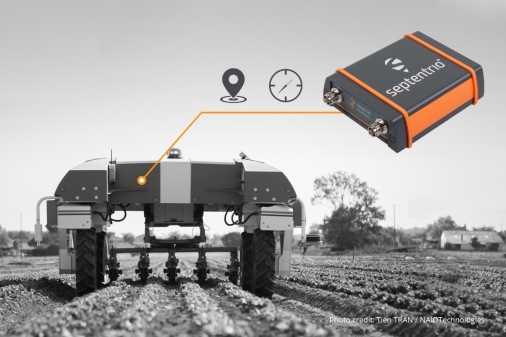
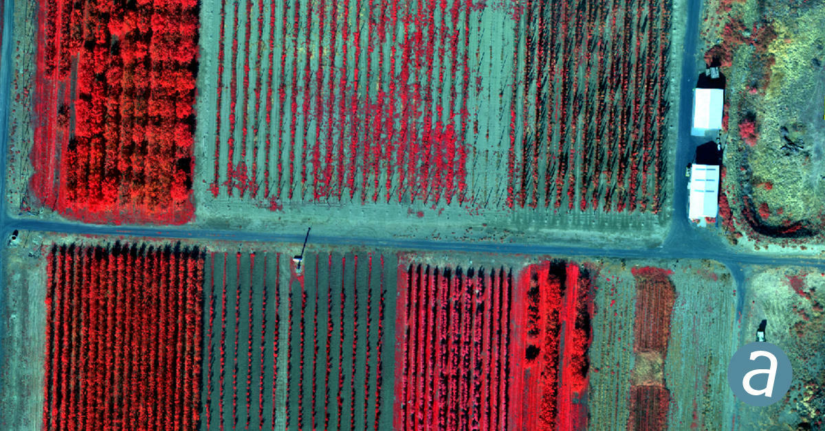
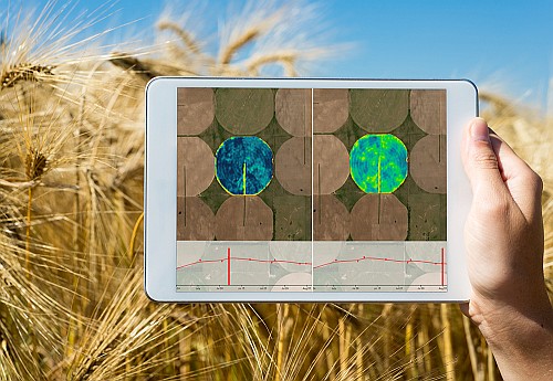
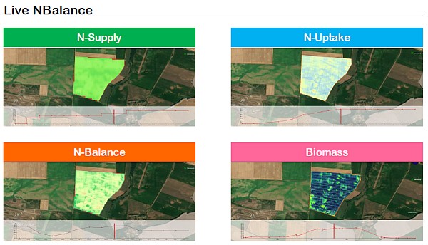
News - Remote Sensing Airbus and John Deere receive silver medal of SIMA innovation award 2019 for uniquely precise intra-field nitrogen monitoring service