Geospatial Technologies
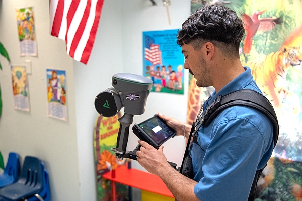
How Fenstermaker Uses TrueView GO to Map Schools for 911 Safety and Response
lidar
Geospatial Technologies
UP42 Announces Partnership with NV5, Adding LiDAR Data to their Ecosystem
Geospatial Technologies
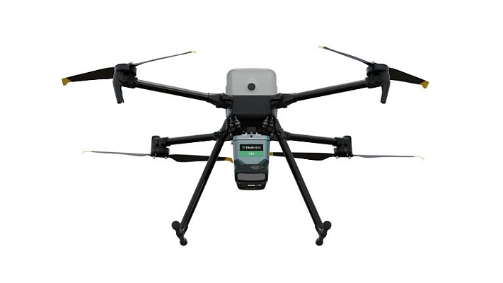
GeoCue Expands Access to Engineering-Grade LiDAR with the Launch of the TrueView 539
Geospatial Technologies
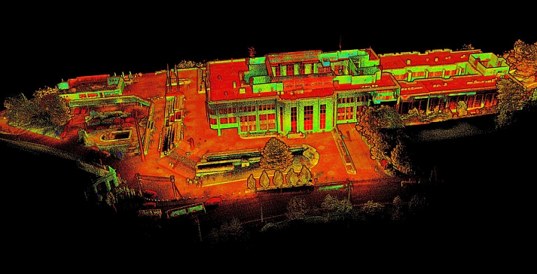
SLAM scanning of Slovak Parliament Buildings
Geospatial Technologies
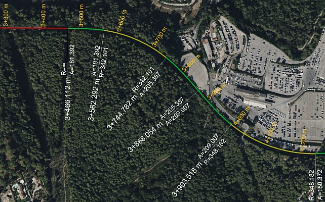
Automated Track Geometry Analysis with 3D LiDAR: A Game-Changer for Railways
Geospatial Technologies
SimActive Used for the Fusion of Lidar and Photogrammetry
Drones and Robotics
Event 38 Unmanned Systems integrates Resepi Lidar onto E455 Drone
Geospatial Technologies
YellowScan: Complete LiDAR solutions. The French way
Geospatial Technologies
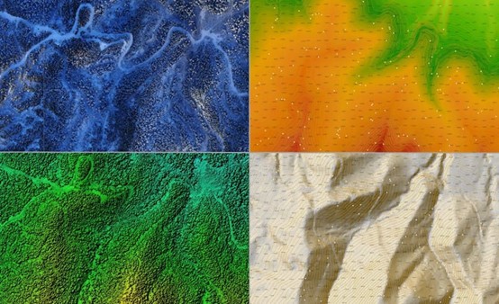
Using the AlphaAir 450 to create a Digital Elevation Model (DEM) for a coal mine project
Drones and Robotics
Why LiDAR survey is the go-to solution for optimizing mining operations?
Geospatial Technologies
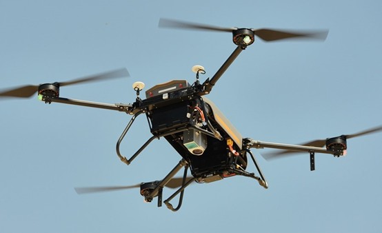
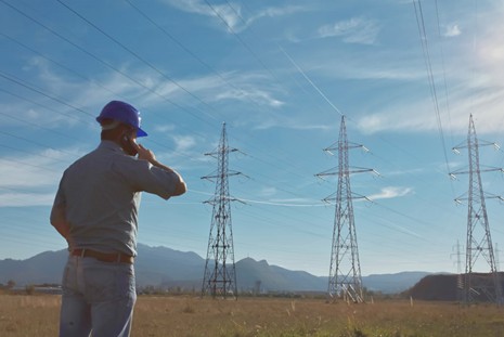
CHCNAV AlphaAir 450 Airborne LiDAR for Power Lines Inspection
Geospatial Technologies
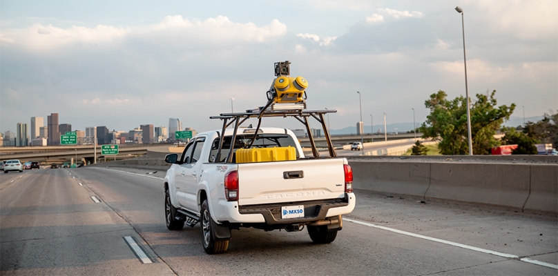
Trimble MX50 Lidar System expands mobile mapping portfolio
News - GNSS and Positioning
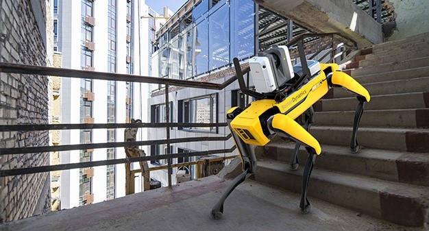
Leica Geosystems Offers Mobile, Agile 3D Reality Capture Solution for Boston Dynamics Spot
News - GNSS and Positioning
International Lidar Mapping Forum Announces New Keynotes: Jack Dangermond and Geospatial Executives Panel
Editorials
Live Schedule


