Geospatial Technologies
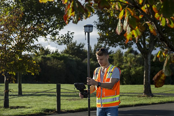
Trimble Launches New IonoGuard Technology to Mitigate Costly GNSS Signal Interruptions
News – GNSS and Positioning
News - GNSS and Positioning
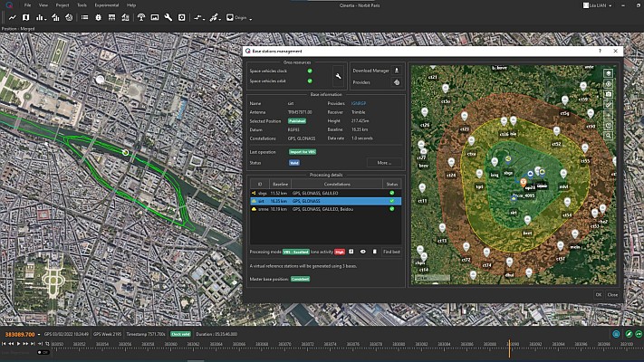
SBG Systems unveils Qinertia 4 packed with much awaited new features
Geospatial Technologies
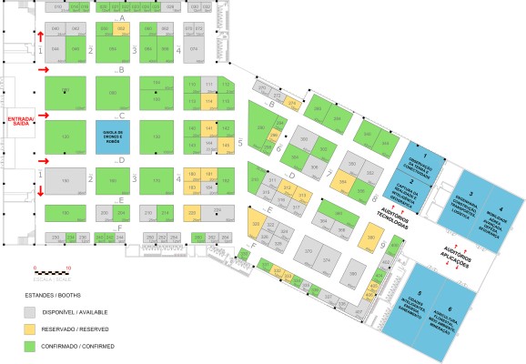
The stands at the MundoGEO Connect 2024 exhibition are 80% occupied
Geospatial Technologies
MundoGEO Connect 2024 will have Business Roundtable and Remote Sensing Forum
Drones and Robotics
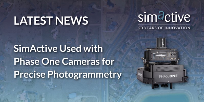
SimActive Used with Phase One Cameras for Precise Photogrammetry
Geospatial Technologies
Septentrio collaborates with Xona on PULSAR GNSS receiver
May 21 to 23, 2024 in Sao Paulo, Brazil
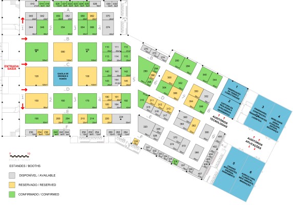
65% occupied the DroneShow, MundoGEO Connect and SpaceBR Show 2024 stands
MAY 21 TO 23 IN SAO PAULO, BRAZIL
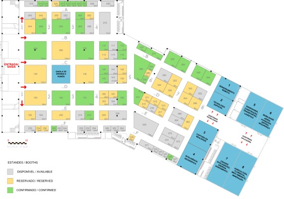
Reserve your place in 2024 for the DroneShow, MundoGEO Connect and SpaceBR Show
Geospatial Technologies
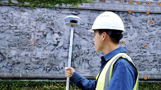
Experience Visual GNSS Surveying with the CHCNAV i93 IMU-RTK
May 9 to 11, 2023 in Sao Paulo, Brazil
5,700 participants attended the DroneShow, MundoGEO Connect, and SpaceBR Show 2023 in São Paulo
Geospatial Technologies
Septentrio launches Agnostic Corrections Partner Program
Geospatial Technologies
Fugro and Petrobras pioneer remote subsea inspection survey in Brazil
Editorials
Live Schedule


