Geospatial Technologies CHC Navigation introduces the AlphaAir 1400 and AlphaAir 2400 Airborne LiDAR Series
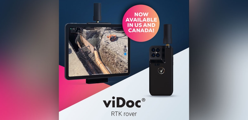
Geospatial Technologies Pix4D launches viDoc RTK rover, an iPhone case that enables handheld professional 3D scanning
Geospatial Technologies Nippon Foundation-GEBCO Seabed 2030 Project Announces Partnership with TCarta
Space SpaceBR Show brings together representatives of the space sector in a free-of-charge online event
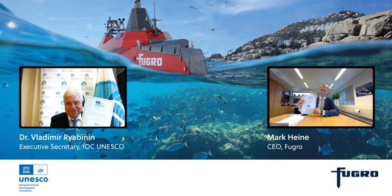
Geospatial Technologies Fugro commits Geo-data expertise and experience to UN Ocean Decade under new partnership agreement
Geospatial Technologies SXBlue II GPS: innovative technology that delivers sub-meter accuracy in real-time
Geospatial Technologies Lift your mobile application to the next level and join this year’s ESA Space App Camp – benefit from an 8-week-long mentoring programme