News - Mobile Robotics Exyn Technologies and Trimble Develop Autonomous Surveying Solution for Construction
Geospatial Technologies Nearabl adopts the Bentley iTwin platform to expand infrastructure deployments
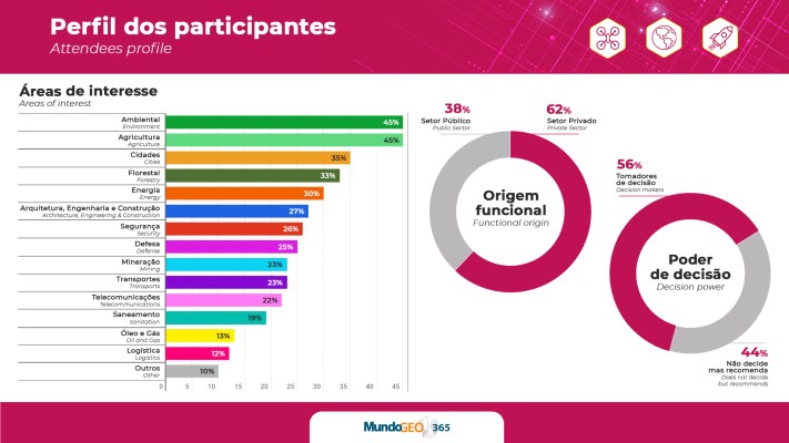
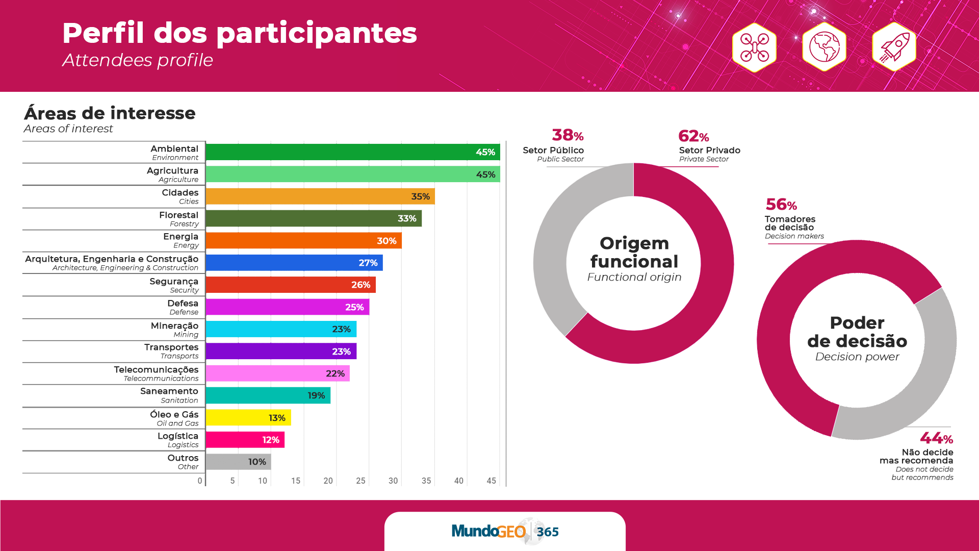
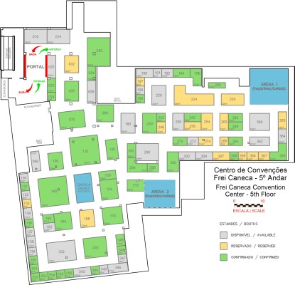
Geospatial Technologies The 2023 trade fair has only 10% of booths available: MundoGEO Connect, DroneShow and SpaceBR Show
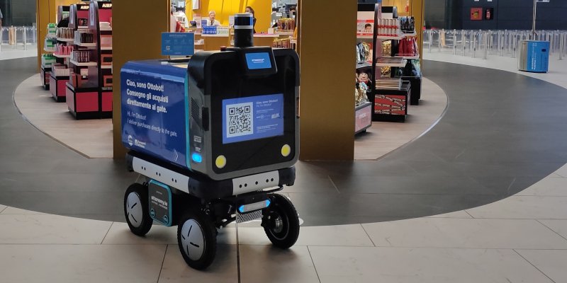
News - Mobile Robotics Ottonomy.IO and Rome International Airport Launch Product Delivery with Autonomous Robots
News - Mobile Robotics 1st Autonomous Mobile Robotics Forum will debate applications and market demands
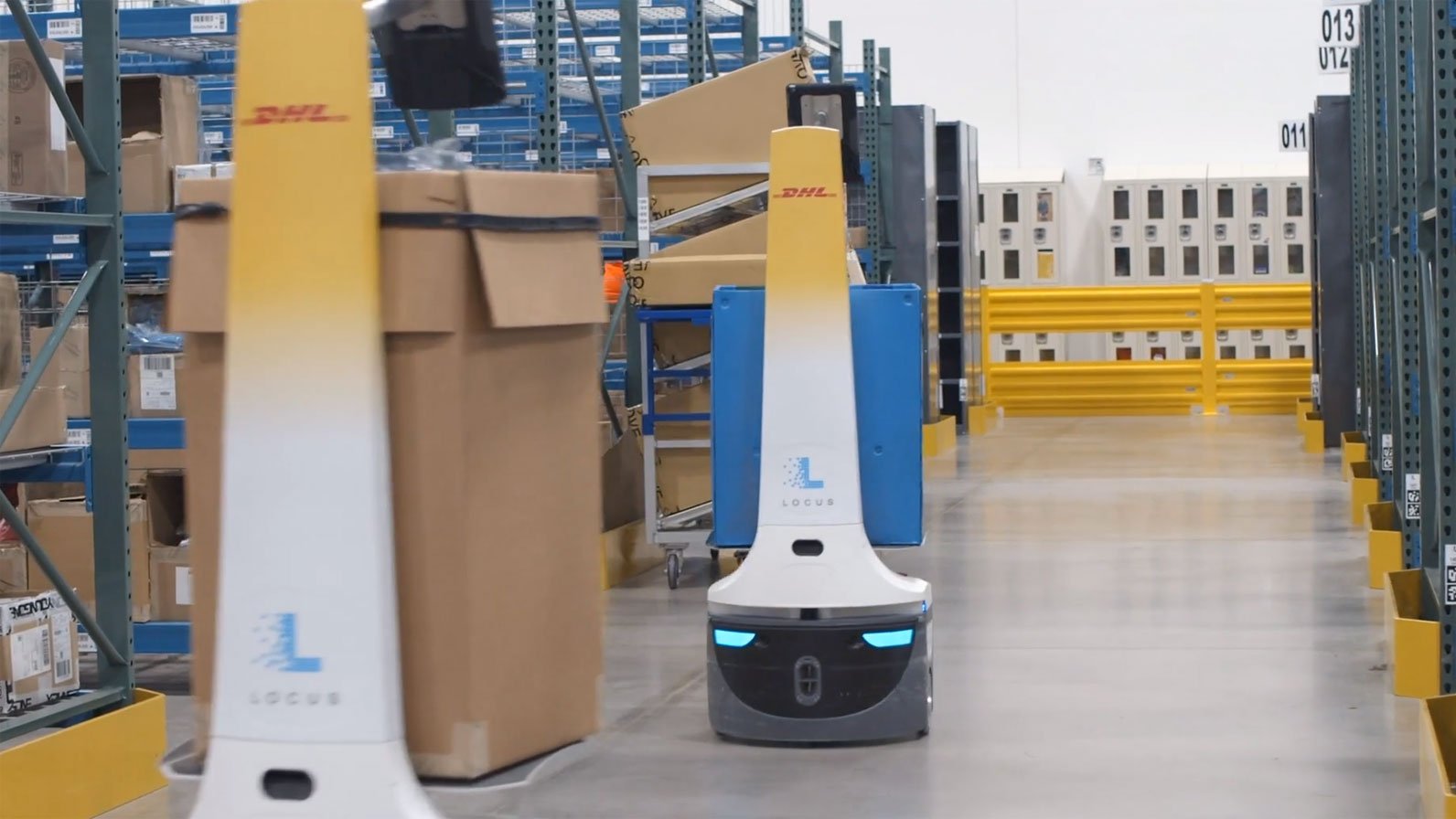
News - Mobile Robotics DHL Expands Partnership with Locus Robotics to Deploy New Autonomous Mobile Robots
Drones and Robotics The 2023 trade fair has only 20% of booths available: DroneShow, MundoGEO Connect and SpaceBR Show
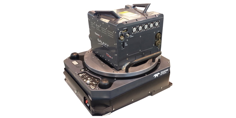
Geospatial Technologies Fototerra’s purchase of new Optech Galaxy PRIME will enable pristine, high-resolution mapping of forests and urban centres in Latin and South America
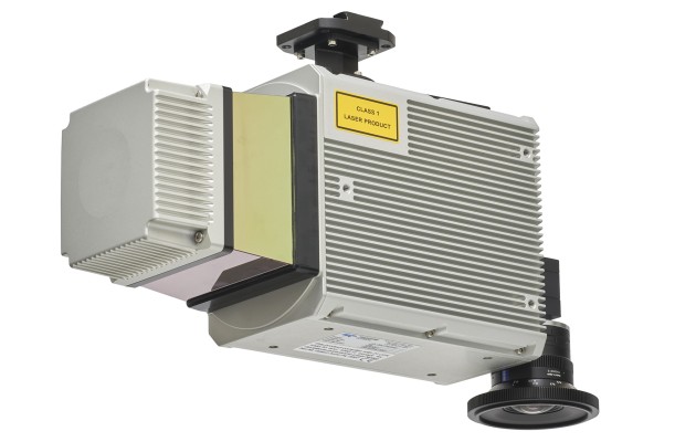
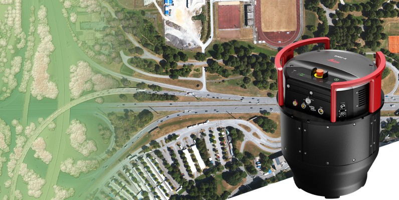
Geospatial Technologies Leica Geosystems announces new Leica DMC-4 airborne imaging sensor delivering superior image fidelity