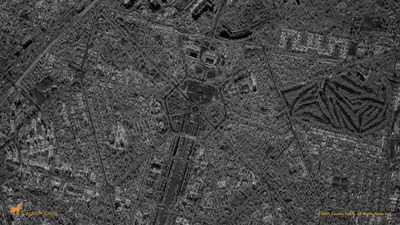
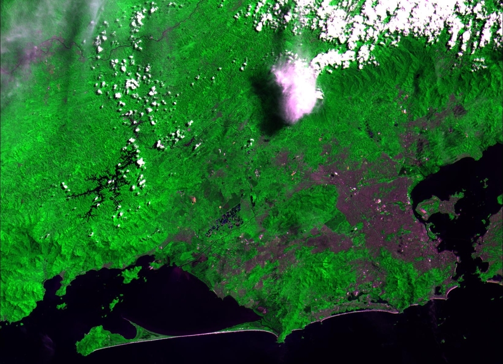
News - Remote Sensing Capella Space Releases First Light High-Resolution Images From its Latest SAR Satellites
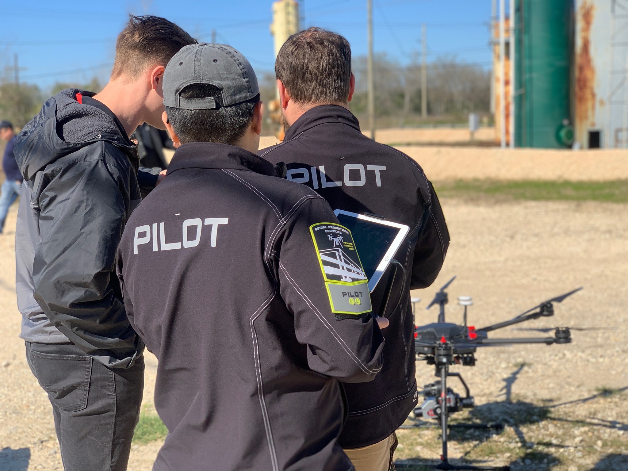
News APS teams with Iris Automation to jumpstart FAA permissions for pipeline inspections with drones
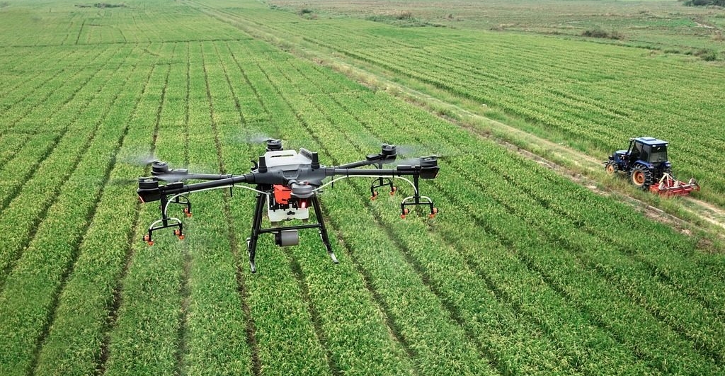
Drones and Robotics Brazilian Aviation Agency issues the 1st authorization of project of RPA for BVLOS flights up to 30 kilometers range
Drones and Robotics senseFly and Tough Stump Collaboration Signals New Era in UAS Tactical Mapping, Aerial Intelligence
Drones and Robotics Skydio Named to Fast Company’s Annual List of the World’s Most Innovative Companies
News - Geoprocessing and GIS Bentley Systems Enters into Agreement to Acquire Seequent, Leader in 3D Modeling Software
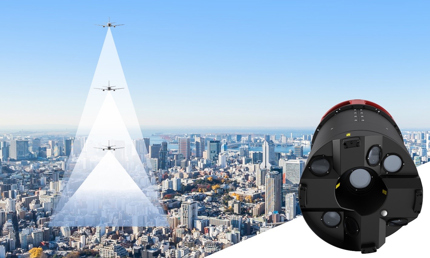
News - Remote Sensing New Leica CityMapper-2L configuration enables digital twin creation of cities in complex areas
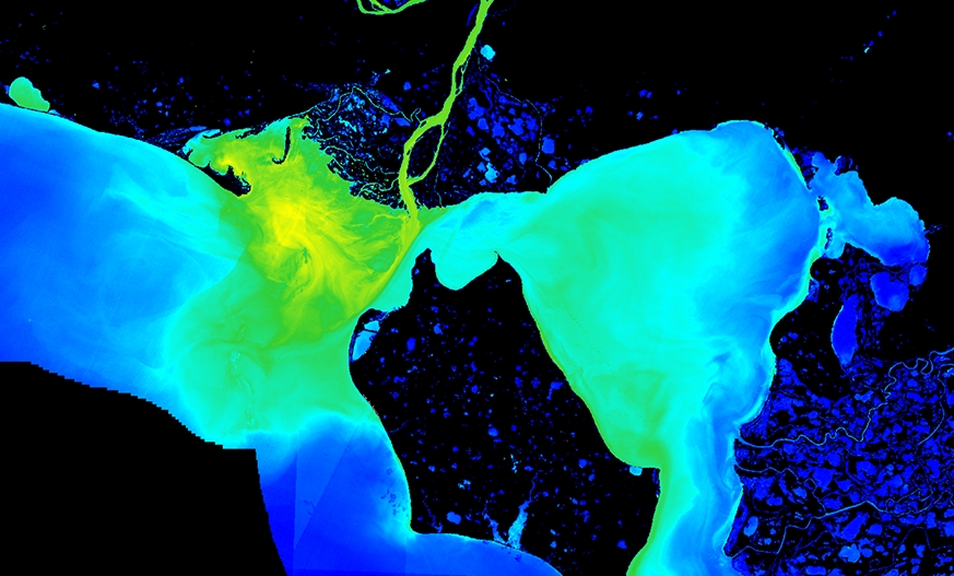
News - GNSS and Positioning TCarta Awarded NOAA Grant to Enhance Satellite Derived Bathymetry Technology in Alaskan Waters
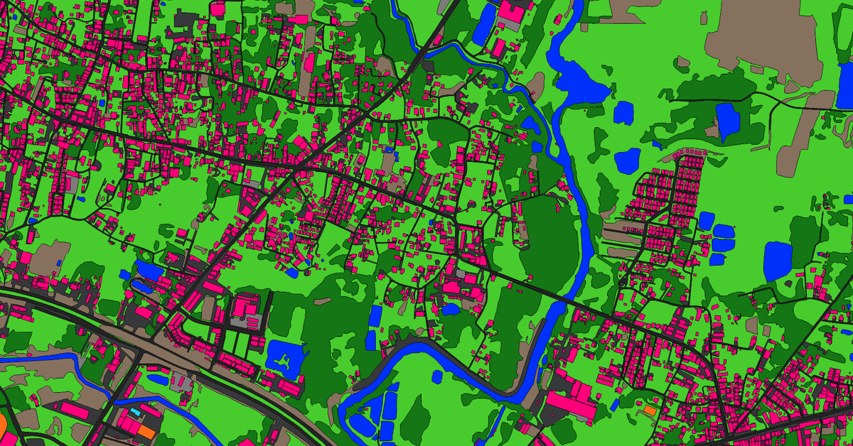
News - Remote Sensing Ecopia AI and Airbus partnership will provide next-generation digital maps on a global scale
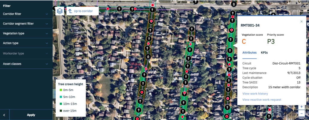
News - Remote Sensing Airbus imagery supports IBM efforts to provide vegetation insights for grid reliability
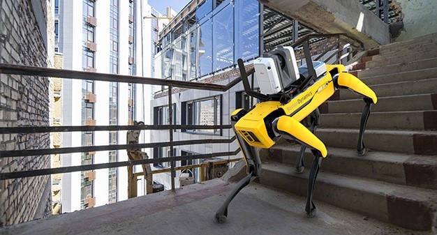
News - GNSS and Positioning Leica Geosystems Offers Mobile, Agile 3D Reality Capture Solution for Boston Dynamics Spot