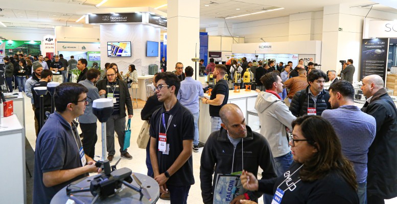
Geospatial Technologies MundoGEO Connect 2023 highlights reality capture, geographic intelligence, digital twins and the metaverse
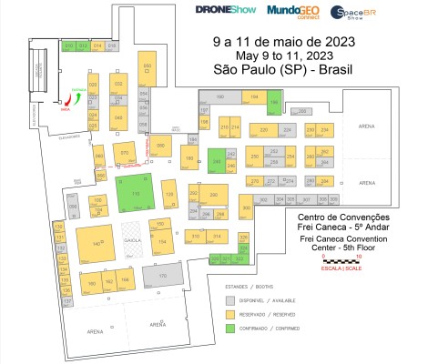
TRADE FAIR Trade Fair 2023: booth sales for DroneShow, MundoGEO Connect and SpaceBR Show events has begun
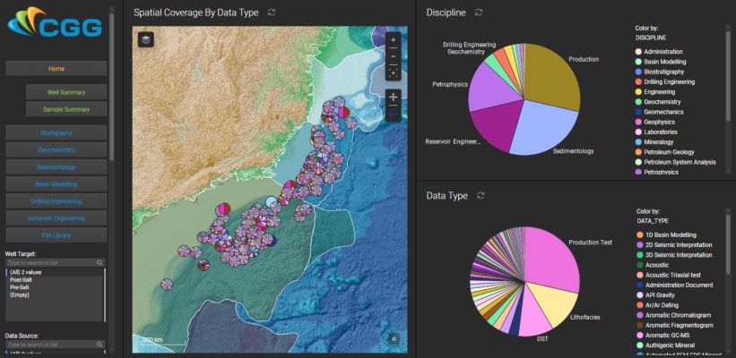
Geospatial Technologies Petrobras Extends CGG Geovation Seismic Imaging Software Licensing Agreement for Five Years
Geospatial Technologies Golden Software Improves Plotting Flexibility and Ease of Use in Latest Grapher Software Release
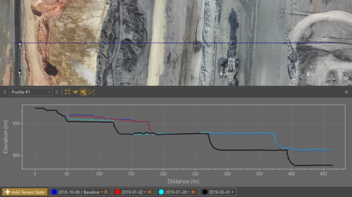
Drones and Robotics Virtual Surveyor Provides Comprehensive Insights into Drone Survey Data with Addition of Profile View
Geospatial Technologies Bentley Systems Enters into Agreement to Acquire Power Line Systems, Global Leader in Software for Power Transmission Engineering
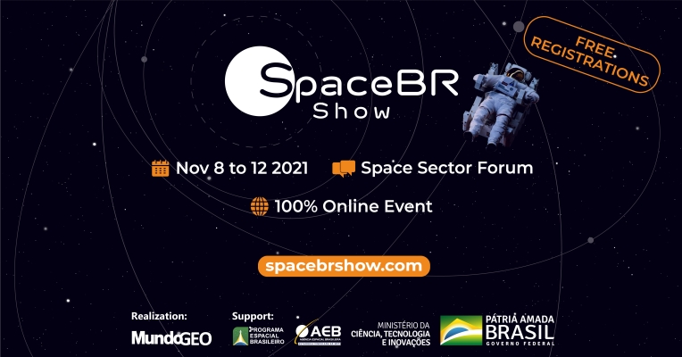
Space SpaceBR Show brings together representatives of the space sector in a free-of-charge online event