News - Mobile Robotics
1st Autonomous Mobile Robotics Forum will debate applications and market demands
Drones and Robotics
Geospatial Technologies
10 Drone and Geo Seminars with 90 experts
Drones and Robotics
11 Drone and Geo courses with open registration
Drones and Robotics
3D Bathymetry via Unmanned Surface Vehicle
Drones and Robotics
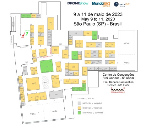
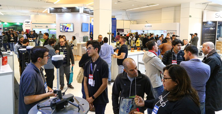
DroneShow, MundoGEO Connect and SpaceBR Show 2023 trade fair grows 50%
Drones and Robotics
eBee X Series Drones are World First to Receive EASA’s C2 Certificate
Drones and Robotics
Teledyne FLIR Introduces Mid-Wave IR Neutrino Camera Module
Drones and Robotics
DroneShow 2023 highlights mapping, inspections, spraying, safety and delivery
Drones and Robotics
Why LiDAR survey is the go-to solution for optimizing mining operations?
Drones and Robotics
viDoc RTK smartphone rover accuracy certified by Bureau Veritas
Drones and Robotics
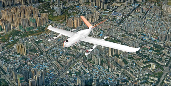
CHCNAV P330 Pro UAV Photogrammetry used in City Planning
GEO, DRONES, SPACE
Video shows highlights of DroneShow, MundoGEO Connect and SpaceBR Show 2022
DRONES, GEO, SPACE
4,200 attendees in DroneShow, MundoGEO Connect and SpaceBR Show 2022
Editorials
Live Schedule


