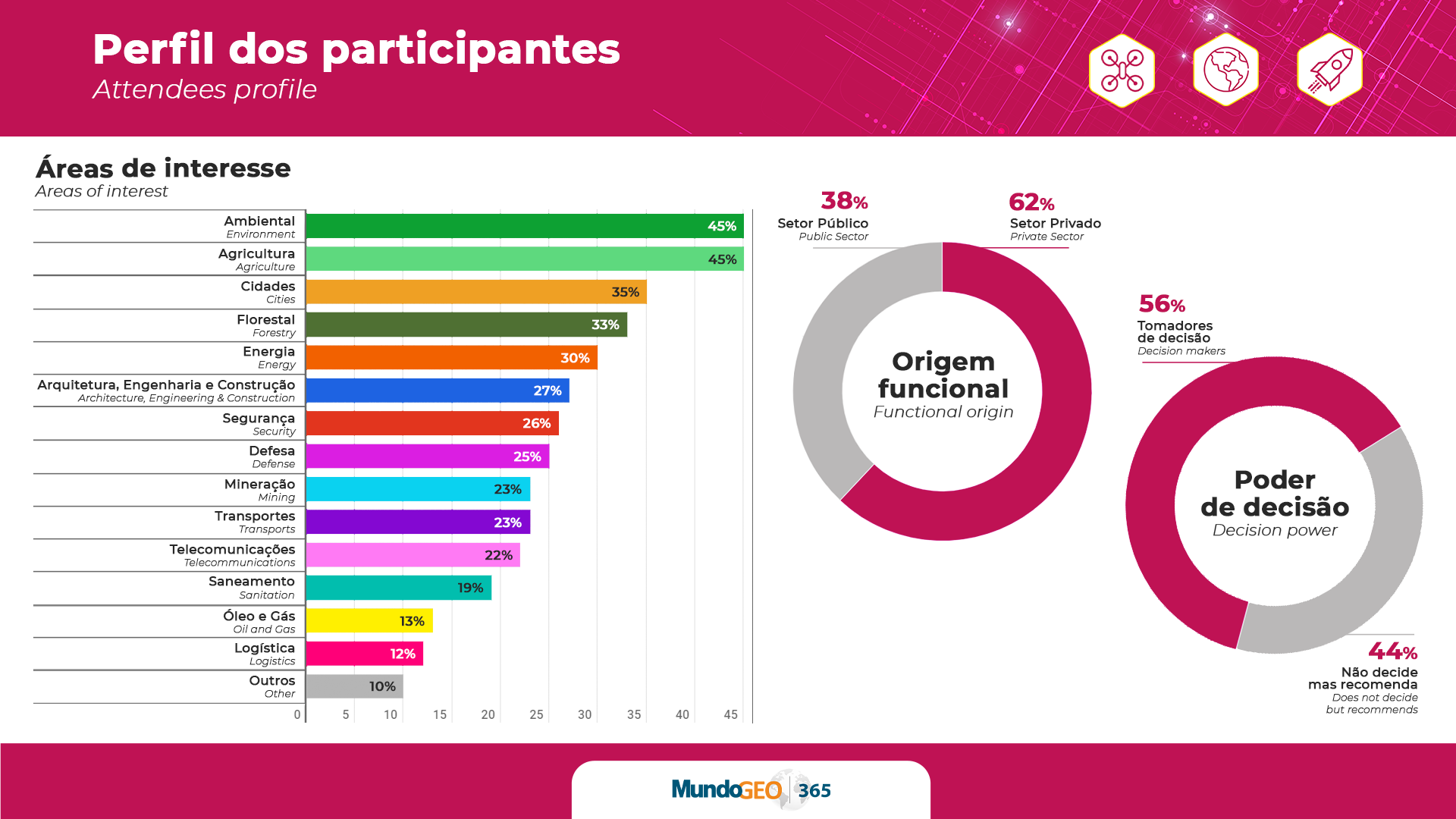
Drones The 2023 trade fair has only 20% of booths available: DroneShow, MundoGEO Connect and SpaceBR Show
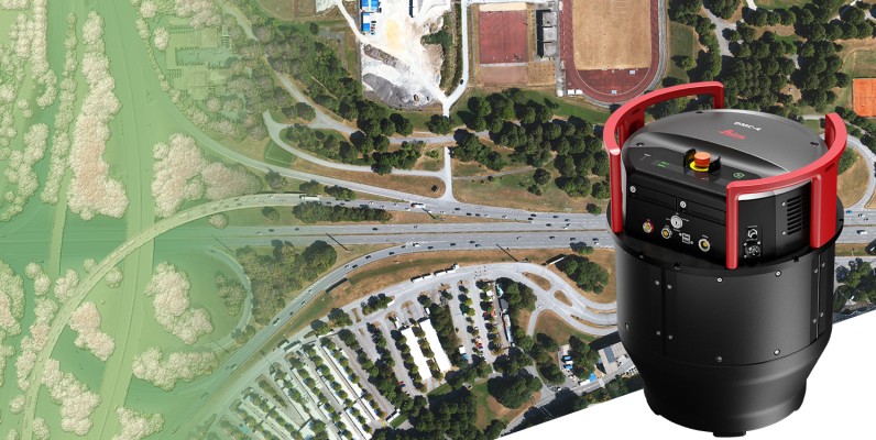
Geospatial Technologies Leica Geosystems announces new Leica DMC-4 airborne imaging sensor delivering superior image fidelity
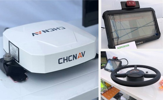
Geoprocessing and GIS CHC Navigation 2.5 cm accurate RTK auto-steer at an affordable price is available
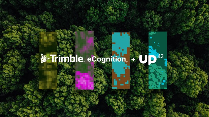
Geospatial Technologies UP42 Teams Up with Trimble for Faster Information Extraction from Geospatial Data
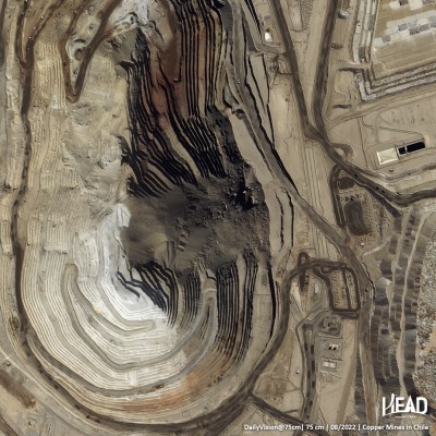
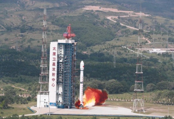
Geospatial Technologies HEAD Aerospace launches HEAD-2G satellite for their Skywalker IoT Constellation
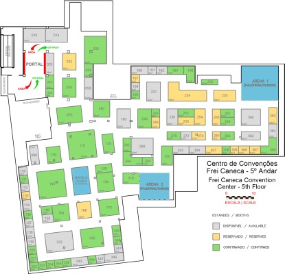
Geoprocessing and GIS MundoGEO Connect 2023 highlights reality capture, geographic intelligence, digital twins and the metaverse
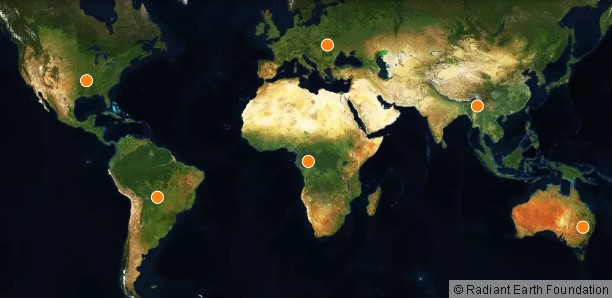
Geospatial Technologies LandCoverNet, the First Global Multi-Satellite Training Dataset for Land Cover Classification