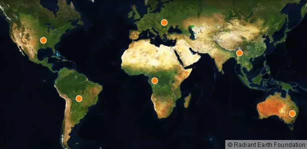
Geospatial Technologies LandCoverNet, the First Global Multi-Satellite Training Dataset for Land Cover Classification
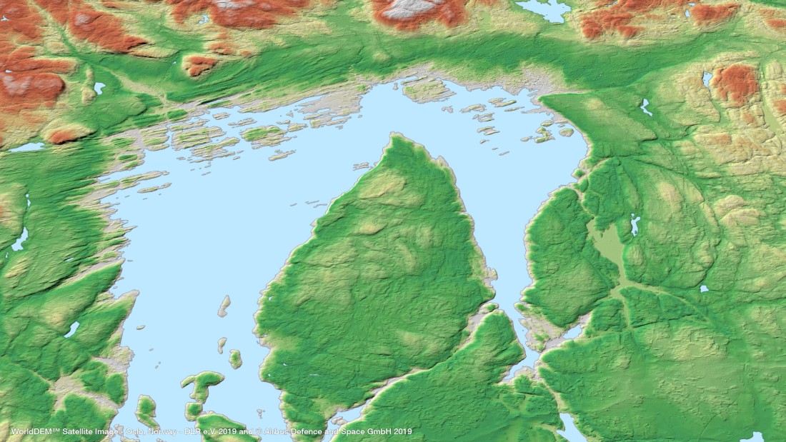
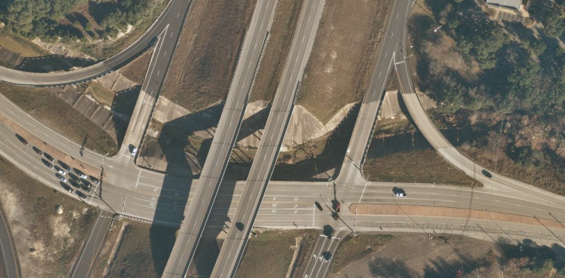
Geospatial Technologies OneAtlas now allows tasking of Airbus’ radar satellites, access to archive radar and WorldDEM data
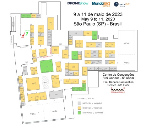
TRADE FAIR Trade Fair 2023: booth sales for DroneShow, MundoGEO Connect and SpaceBR Show events has begun
Geospatial Technologies UP42 and Airbus Launch Copernicus Masters Challenge for Sustainable Urban Planning
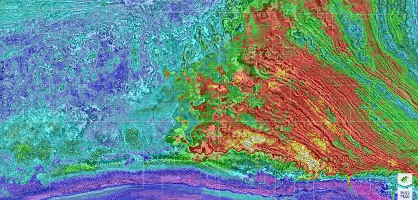
Geospatial Technologies Petrobras Extends CGG Geovation Seismic Imaging Software Licensing Agreement for Five Years
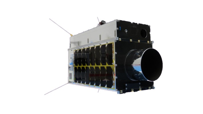
Geospatial Technologies SFL Awarded Contract to Build Next Three Greenhouse Gas Monitoring Microsatellites for GHGSat
Geospatial Technologies UP42 Partners with Near Space Labs to Offer Very High-Resolution Imagery using Zero-Emission Balloons