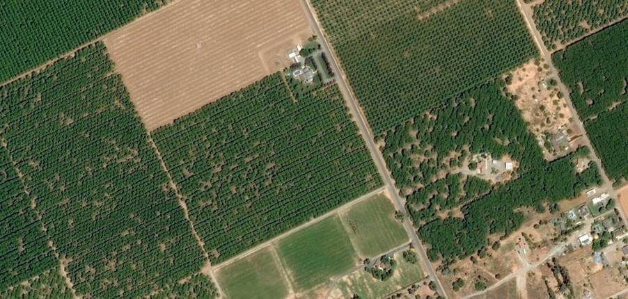
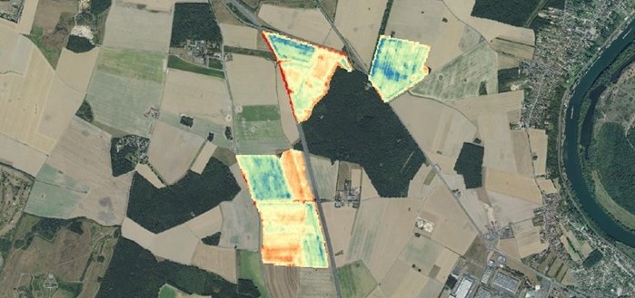
Geospatial Technologies Airbus to provide imagery services that enable IntelinAir’s crop analytics platform
Geospatial Technologies Phase One Unveils Wide-Area, 120MP Aerial Camera with Global Shutter Sensor Technology
Geospatial Technologies Webinar: UltraCam Condor 4.1, the latest addition to the UltraCam product family
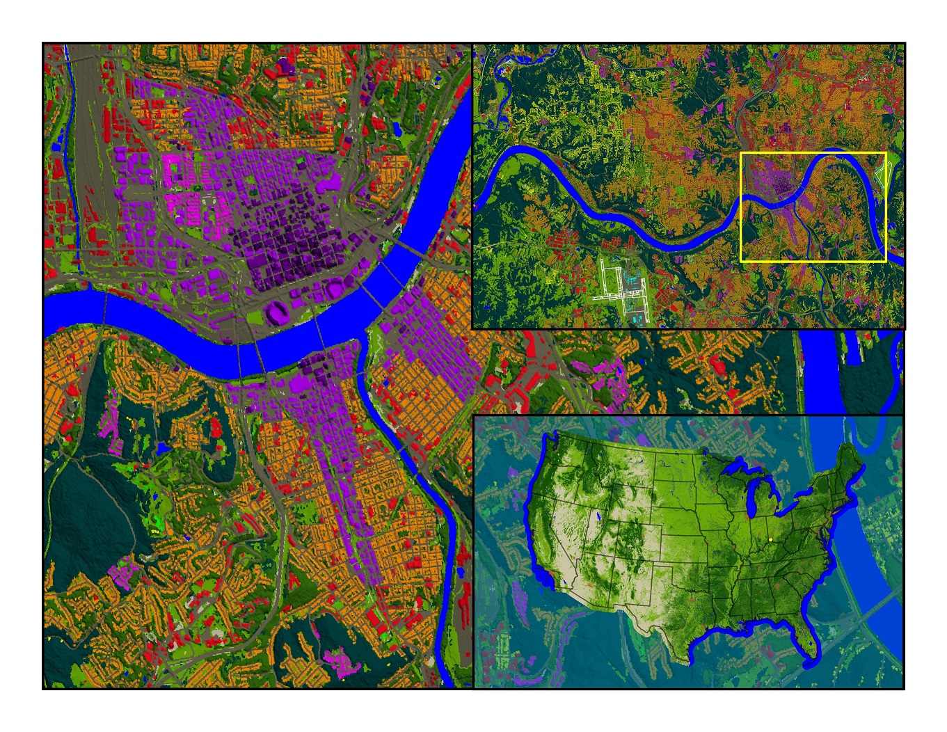
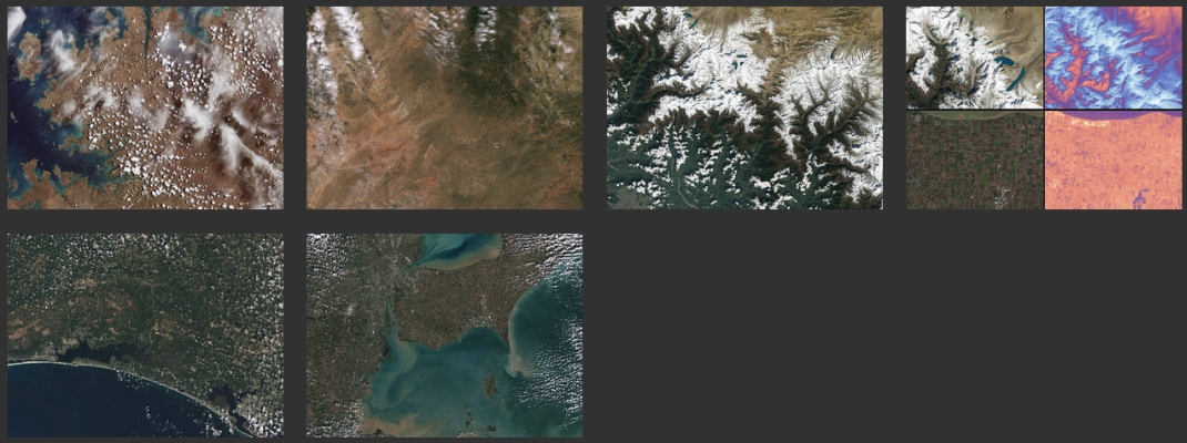
Geospatial Technologies UP42 Unveils Very High-Resolution Imagery from Airbus Pléiades Neo Satellites
Space SpaceBR Show brings together representatives of the space sector in a free-of-charge online event