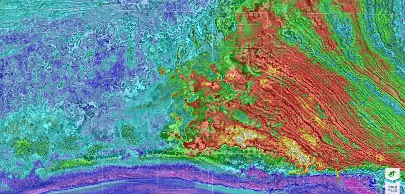
Geospatial Technologies Petrobras Extends CGG Geovation Seismic Imaging Software Licensing Agreement for Five Years
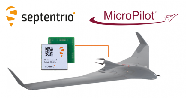
Drones and Robotics Septentrio teams with MicroPilot bringing top-performance GNSS positioning to Drones
Geospatial Technologies CHC Navigation introduces the AlphaAir 1400 and AlphaAir 2400 Airborne LiDAR Series
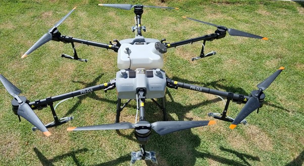
Drones and Robotics Brazilian drone company JETWIND is joining DLE to collaborate with AIRGO to develop drone parts