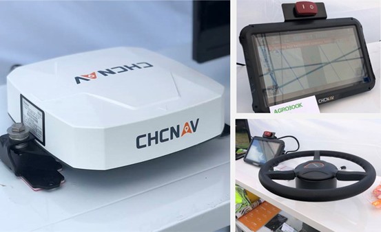
Geospatial Technologies CHC Navigation 2.5 cm accurate RTK auto-steer at an affordable price is available
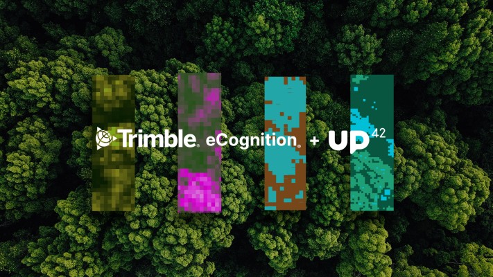
Geospatial Technologies UP42 Teams Up with Trimble for Faster Information Extraction from Geospatial Data
Geospatial Technologies Golden Software Enhances Grapher Package with Improved Axes, Plotting, and 3D Functionality
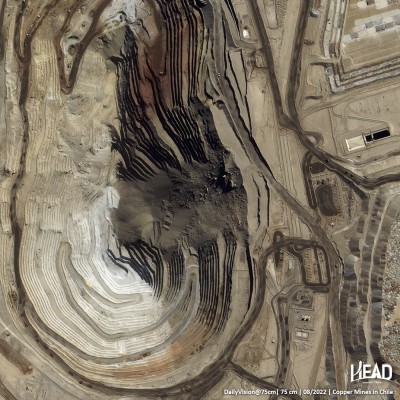
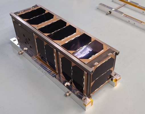
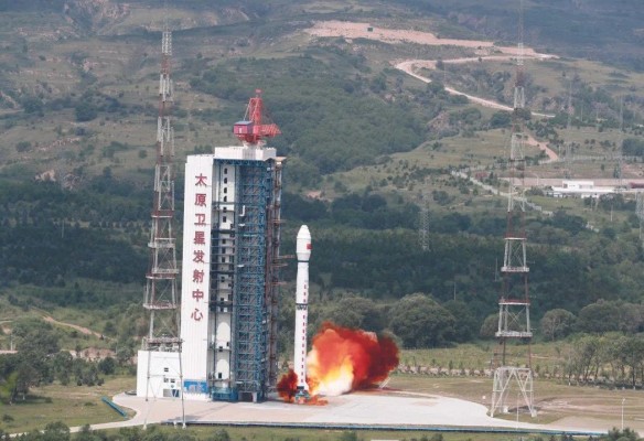
Geospatial Technologies HEAD Aerospace launches HEAD-2G satellite for their Skywalker IoT Constellation
Drones and Robotics Innovators and 3D modeling enthusiasts come together at the Pix4D Conference 2022 in Denver
Geospatial Technologies MundoGEO Connect 2023 highlights reality capture, geographic intelligence, digital twins and the metaverse