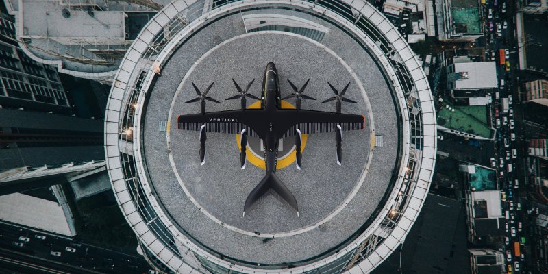
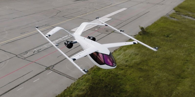
eVTOL Brazilian Department of Airspace Control Foresees Less Human Action in eVTOL Traffic Management
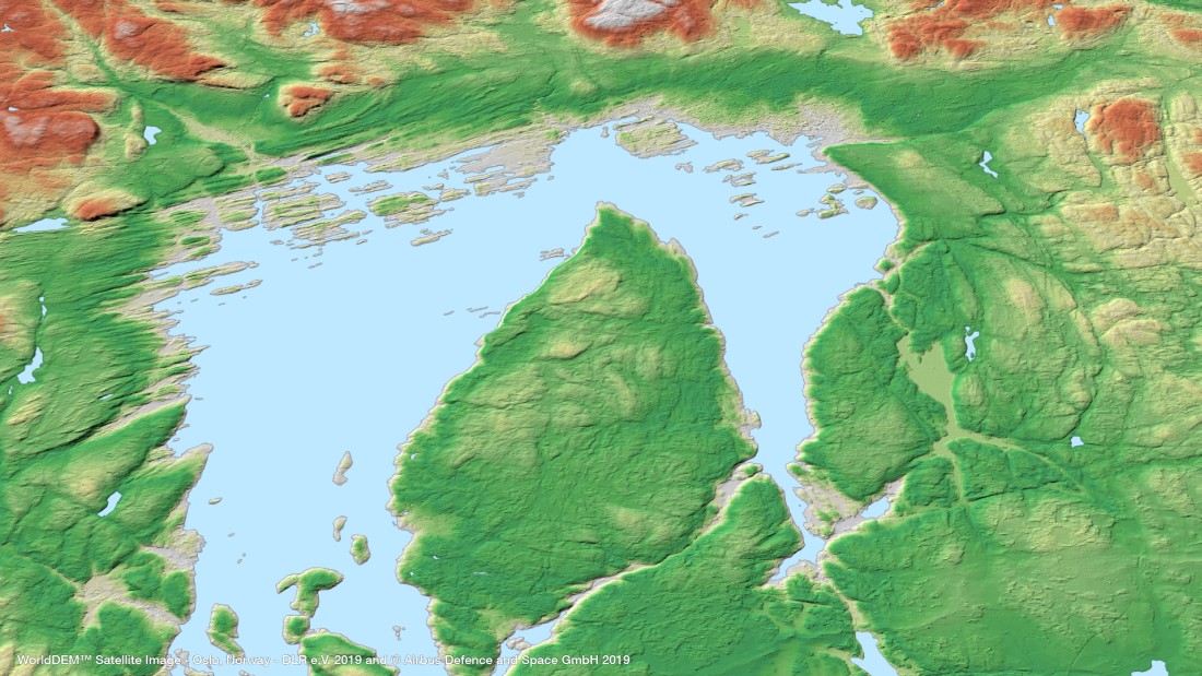
Geospatial Technologies OneAtlas now allows tasking of Airbus’ radar satellites, access to archive radar and WorldDEM data
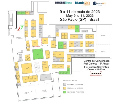
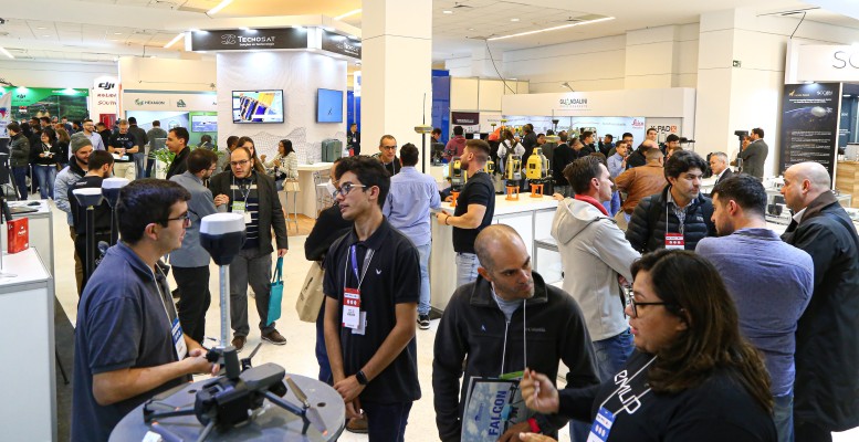
TRADE FAIR Trade Fair 2023: booth sales for DroneShow, MundoGEO Connect and SpaceBR Show events has begun
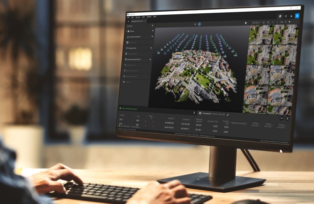
Drones and Robotics Pix4D is partnering up with Nuvem UAV in Brazil to support its growth in the South American market
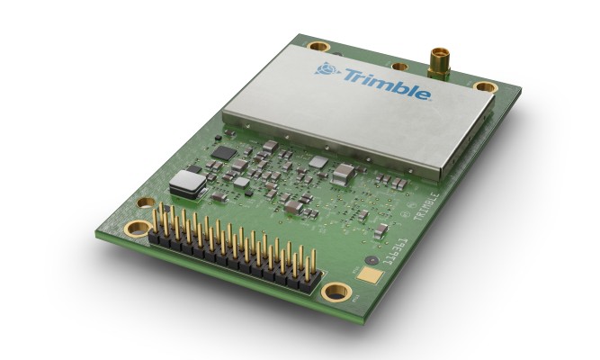
Geospatial Technologies Trimble Introduces High-Accuracy OEM GNSS Receiver Module for Industrial Autonomy Applications
Geospatial Technologies UP42 and Airbus Launch Copernicus Masters Challenge for Sustainable Urban Planning
Geospatial Technologies CHC Navigation Introduces the i73+ Pocket-sized GNSS Base and Rover with Built-in UHF Modem