Geospatial Technologies Phase One Unveils Wide-Area, 120MP Aerial Camera with Global Shutter Sensor Technology
Geospatial Technologies Golden Software Improves Plotting Flexibility and Ease of Use in Latest Grapher Software Release
Geospatial Technologies Webinar: UltraCam Condor 4.1, the latest addition to the UltraCam product family
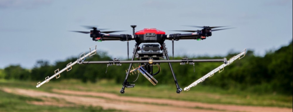
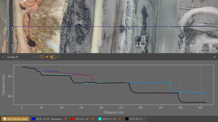
Drones and Robotics Virtual Surveyor Provides Comprehensive Insights into Drone Survey Data with Addition of Profile View
Geospatial Technologies Bentley Systems Enters into Agreement to Acquire Power Line Systems, Global Leader in Software for Power Transmission Engineering
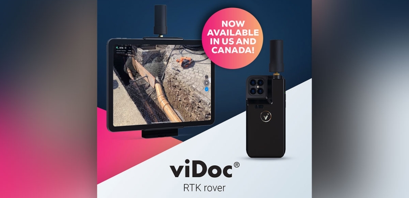
Geospatial Technologies Pix4D launches viDoc RTK rover, an iPhone case that enables handheld professional 3D scanning
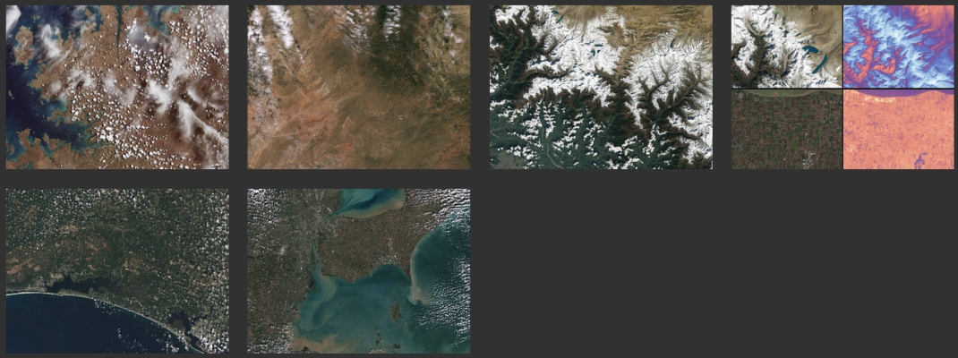
Geospatial Technologies UP42 Unveils Very High-Resolution Imagery from Airbus Pléiades Neo Satellites
Geospatial Technologies Nippon Foundation-GEBCO Seabed 2030 Project Announces Partnership with TCarta