chc
Geospatial Technologies
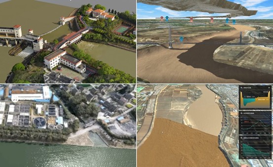
Digital Twin Project: A Real Case of Flood Control Modeling and Simulation
Geospatial Technologies
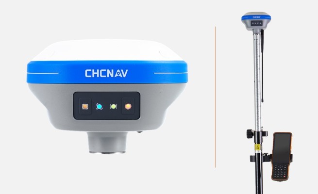
CHCNAV i73+ IMU-RTK GNSS receiver is the lightweight and versatile receiver
Drones and Robotics
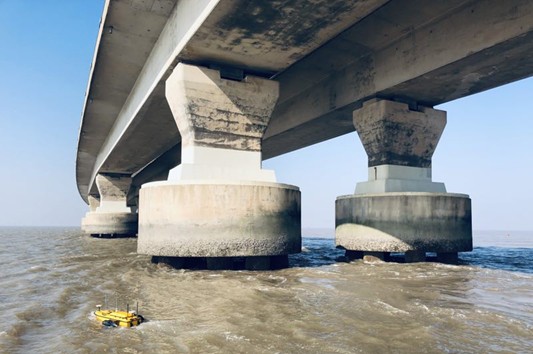
3D Bathymetry via Unmanned Surface Vehicle
Geospatial Technologies
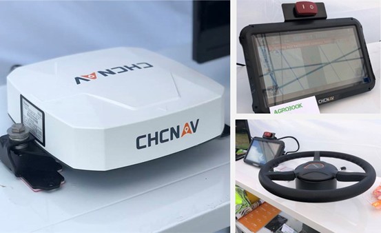
CHC Navigation 2.5 cm accurate RTK auto-steer at an affordable price is available
Drones and Robotics
Why LiDAR survey is the go-to solution for optimizing mining operations?
Drones and Robotics
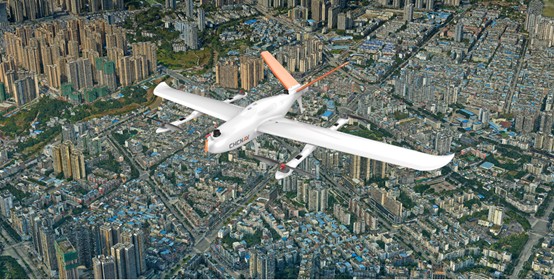
CHCNAV P330 Pro UAV Photogrammetry used in City Planning
Geospatial Technologies
CHCNAV GNSS Solutions used in Mining and Quarrying Applications
Editorials
Live Schedule


