Geospatial Technologies Septentrio partners with SparkFun to accelerate development of positioning-based applications
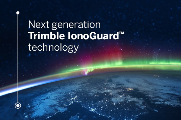
Geospatial Technologies Trimble Launches New IonoGuard Technology to Mitigate Costly GNSS Signal Interruptions
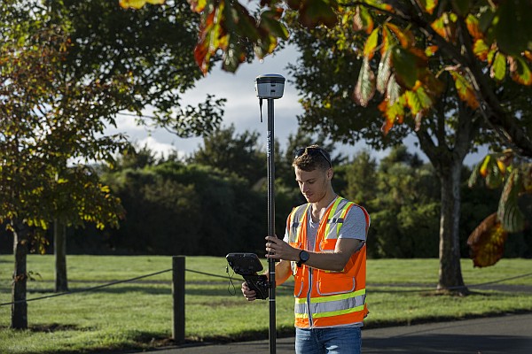
Geospatial Technologies New Trimble GNSS Receiver with Trimble ProPoint Delivers Survey Precision and Productivity in the Field
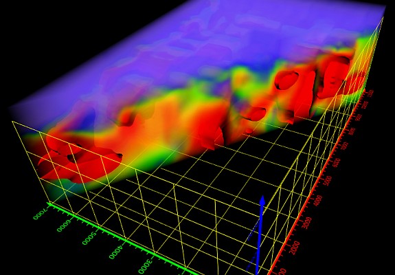
Geospatial Technologies Golden Software Expands 3D Subsurface Visualization Capabilities in Latest Surfer Surface Mapping Package
Geospatial Technologies Planet Completes Acquisition of Sinergise; Set to Expand Planet’s Earth Data Platform