Geospatial Technologies
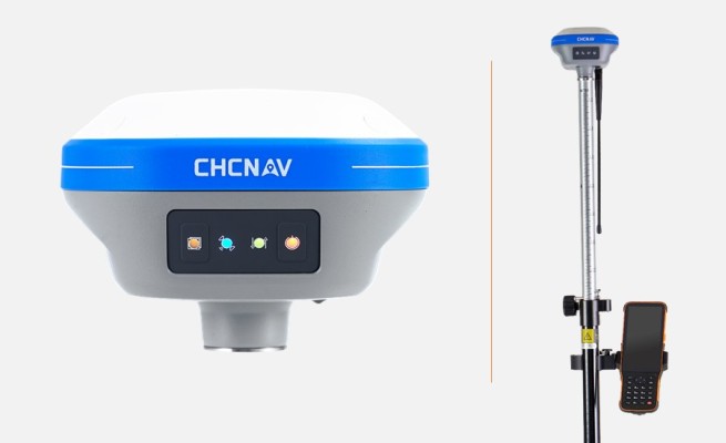
CHCNAV i73+ IMU-RTK GNSS receiver is the lightweight and versatile receiver
Geospatial Technologies
News - Mobile Robotics
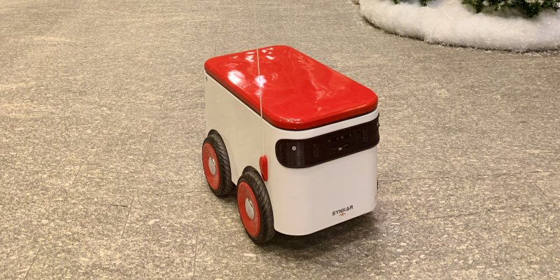
Synkar and Microart partner to manufacture delivery robots
Geospatial Technologies
Maptek Geology Champions Win on Innovation
Geospatial Technologies
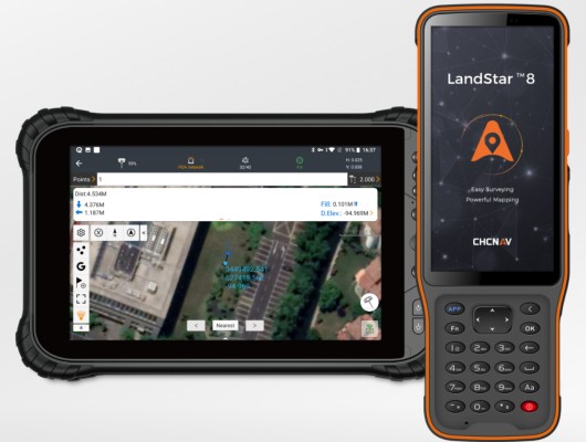
CHC Navigation launches the version 8 of its Landstar Field Data Collection Software
Geospatial Technologies
Terradepth Announces Commercial Launch of Absolute Ocean Marine Data Management Platform
Geospatial Technologies
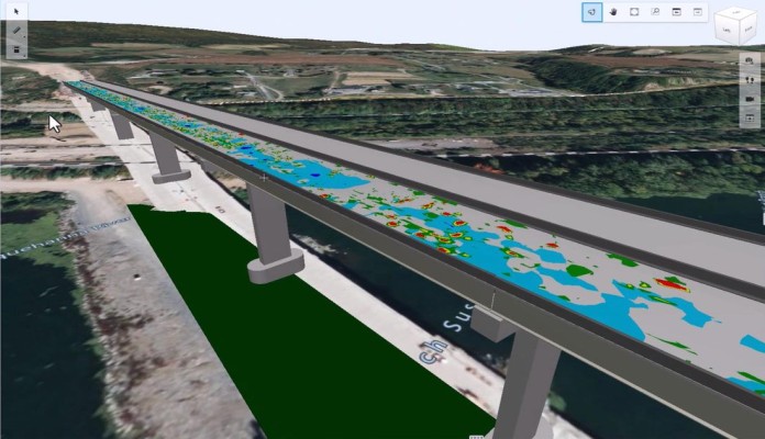
Bentley Systems Launches iTwin Experience, iTwin Capture, and iTwin IoT to Extend iTwin Platform
Geospatial Technologies
HEAD Aerospace launches 5 new satellites from the Jilin-1 constellation
News - Mobile Robotics
Starship Technologies expands robot delivery service at universities
News - Mobile Robotics
How does Sparrow, the new robot from Amazon, work?
Geospatial Technologies
Fugro teams with Septentrio and Meinberg to launch Fugro AtomiChron time synchronisation service
News - Mobile Robotics
Exyn Technologies and Trimble Develop Autonomous Surveying Solution for Construction
Geospatial Technologies
Nearabl adopts the Bentley iTwin platform to expand infrastructure deployments
Geospatial Technologies
Interview: Oscar Delgado, HEAD’s IoT Director of Business Development
News - Mobile Robotics
Ottonomy.IO and Rome International Airport Launch Product Delivery with Autonomous Robots
Geospatial Technologies
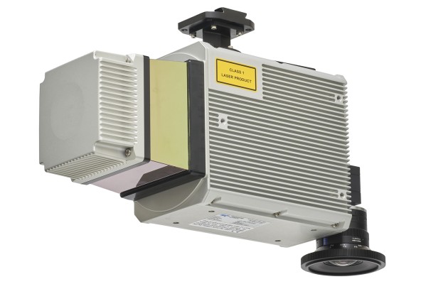
Teledyne Geospatial announces new lidar solution for UAV platforms
Geospatial Technologies
Visit the HEAD Aerospace booth at Futurecom 2022 Sao Paolo, Brazil
News - Mobile Robotics
Global Autonomous Mobile Robot Market Expected to Reach $12.4 Billion in 2030
Editorials
Live Schedule


