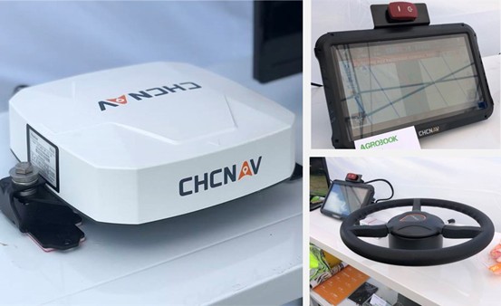
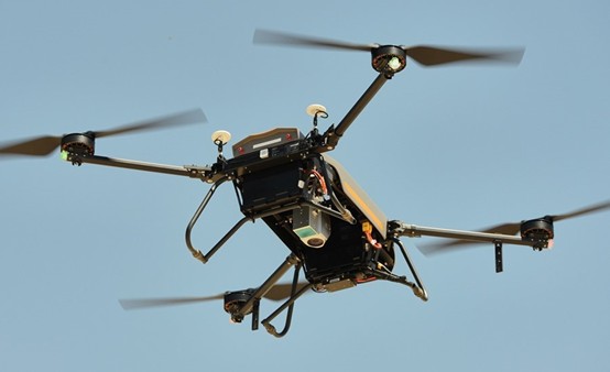
Geospatial Technologies CHC Navigation 2.5 cm accurate RTK auto-steer at an affordable price is available
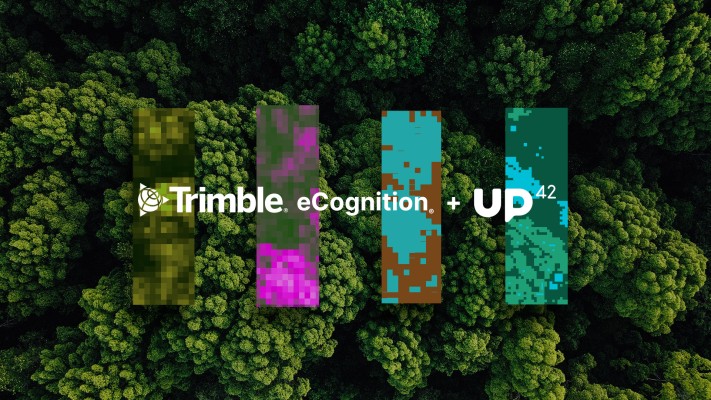
Geospatial Technologies UP42 Teams Up with Trimble for Faster Information Extraction from Geospatial Data
Geospatial Technologies Golden Software Enhances Grapher Package with Improved Axes, Plotting, and 3D Functionality
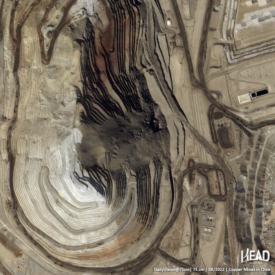
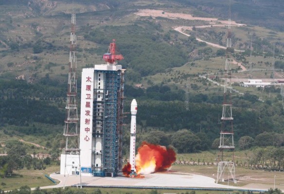
Geospatial Technologies HEAD Aerospace launches HEAD-2G satellite for their Skywalker IoT Constellation
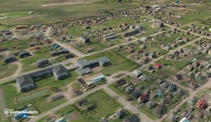
Geospatial Technologies MundoGEO Connect 2023 highlights reality capture, geographic intelligence, digital twins and the metaverse
Geospatial Technologies Trimble Introduces Next Generation High-Accuracy Mapping Solution for GIS Field Applications
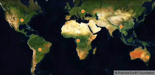
Geospatial Technologies LandCoverNet, the First Global Multi-Satellite Training Dataset for Land Cover Classification
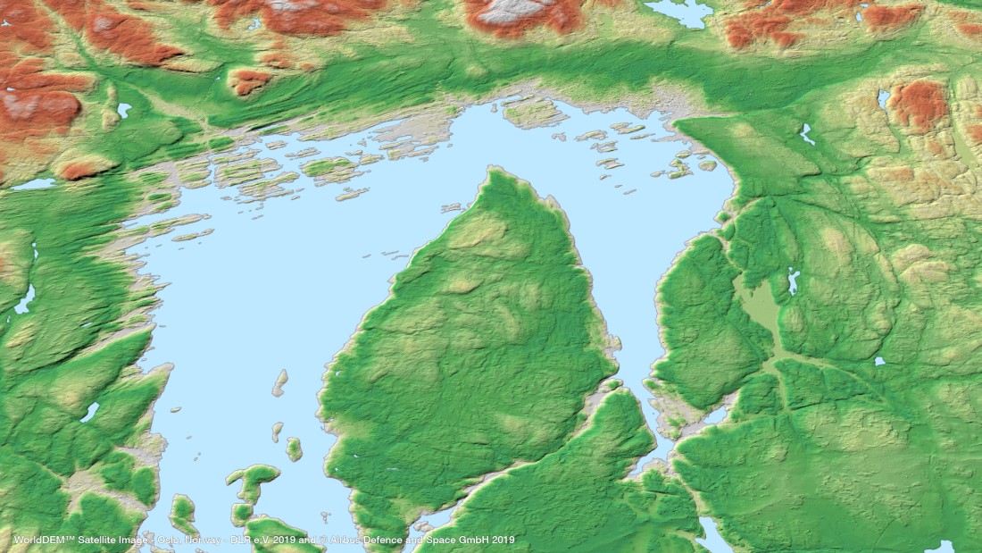
Geospatial Technologies OneAtlas now allows tasking of Airbus’ radar satellites, access to archive radar and WorldDEM data
TRADE FAIR Trade Fair 2023: booth sales for DroneShow, MundoGEO Connect and SpaceBR Show events has begun