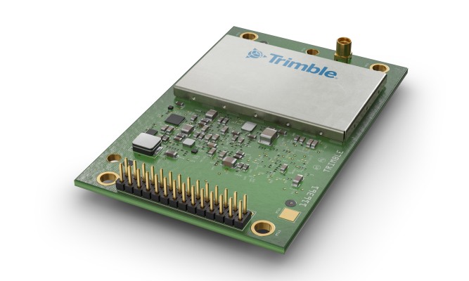
Geospatial Technologies Trimble Introduces High-Accuracy OEM GNSS Receiver Module for Industrial Autonomy Applications
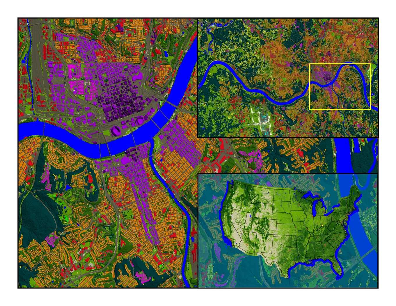
Geospatial Technologies UP42 and Airbus Launch Copernicus Masters Challenge for Sustainable Urban Planning
Geospatial Technologies CHC Navigation Introduces the i73+ Pocket-sized GNSS Base and Rover with Built-in UHF Modem
Geospatial Technologies Petrobras Extends CGG Geovation Seismic Imaging Software Licensing Agreement for Five Years
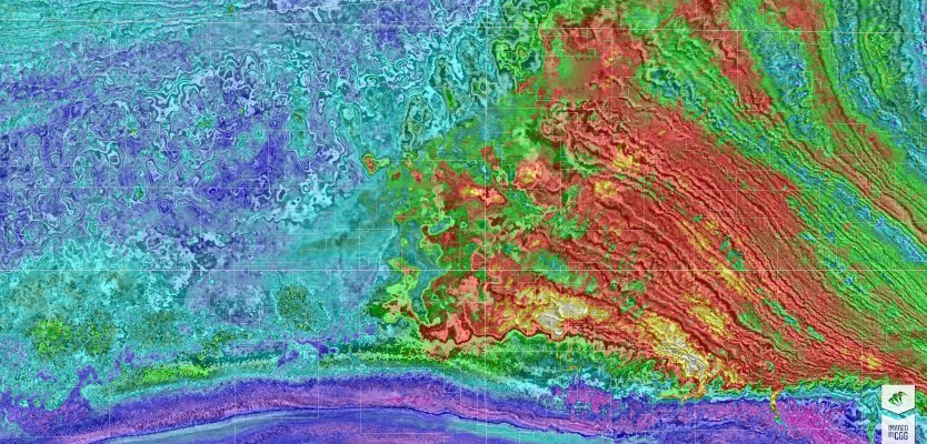
Geospatial Technologies CHC Navigation introduces the AlphaAir 1400 and AlphaAir 2400 Airborne LiDAR Series
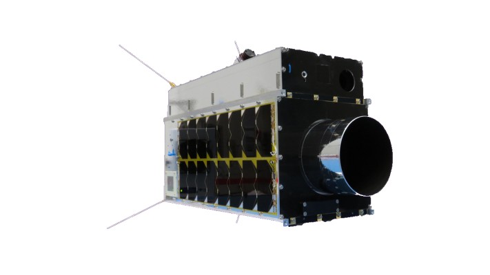
Geospatial Technologies SFL Awarded Contract to Build Next Three Greenhouse Gas Monitoring Microsatellites for GHGSat
Geospatial Technologies UP42 Partners with Near Space Labs to Offer Very High-Resolution Imagery using Zero-Emission Balloons
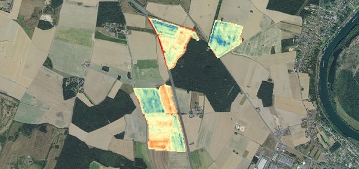
Geospatial Technologies Airbus to provide imagery services that enable IntelinAir’s crop analytics platform