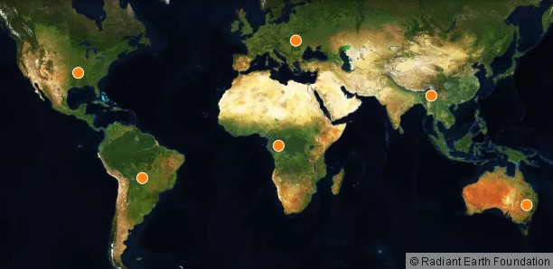
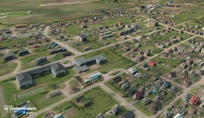
Geospatial Technologies LandCoverNet, the First Global Multi-Satellite Training Dataset for Land Cover Classification
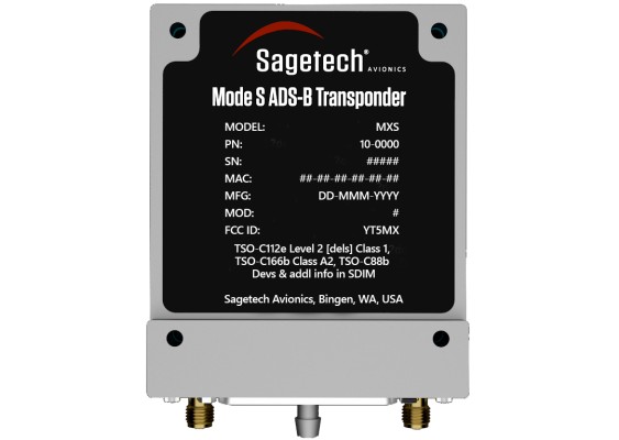
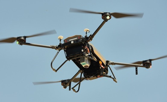
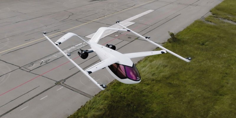
Drones and Robotics Innovative Combination of Cooperative and Noncooperative Detection Enables DAA and BVLOS
Space Satellite data for reduced emission footprint – Boliden partners with Swedish Space Corporation
Space Virgin Orbit formally establishes new brazilian subsidiary and receives operator’s license for launch operations in Alcântara